



Heat Advisories for Much of Oregon, S. Washington, Near 100 or More; Smoke Expected Even on Coast
Published 08/03/2026 at 8:05 a.m.
By Oregon Coast Beach Connection Staff
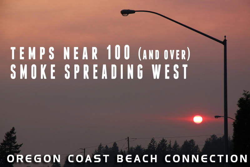
(Portland, Oregon) - The next few days mean a lot of hot weather in the western sides of Oregon and Washington and some amount of wildfire smoke will be hitting even the coastlines. Air quality alerts abound for eastern Oregon and Washington, however, so far there are no air quality alerts for west of the Cascades. This may still happen as the National Weather Service's (NWS) own smoke models for August 5 show substantial inundation (see the video of their prediction loop).
Includes exclusive listings; some specials in winter
In Cannon Beach:
Includes rentals not listed anywhere else
In Manzanita, Wheeler, Rockaway Beach:
Some specials for winter
In Pacific City, Oceanside:
Some specials for winter
In Lincoln City:
Some specials for winter
In Depoe Bay, Gleneden Beach:
Some specials for winter
In Newport:
Look for some specials
In Waldport
Some specials for winter
In Yachats, Florence
Some specials for winter
Southern Oregon Coast Hotels / Lodgings
Reedsport to Brookings, places to stay; winter deals
Currently, the Portland area (for example) is forecast to hit "unhealthy for senstive groups" levels on Tuesday.
Forecasters say smoke will spread across the west as easterly winds carry it toward the Pacific, but heat will be the serious issue.
“High temperatures for most inland valley locations are now expected to peak between 95-100 degrees on Tuesday and Wednesday, and potentially into Thursday as well,” the NWS said.
They have issued a Heat Advisory for the Willamette Valley, the Portland–Vancouver metro area, the Cowlitz Valley, the lower Columbia region, the south Washington Cascades, and the Oregon Coast Range lowlands. The advisory is in effect from noon Tuesday through 11 p.m. Wednesday, though the NWS notes it may need to be extended into Thursday.
Oregon Air Quality - Current Air Quality, Forecast
The pattern is expected to produce widespread moderate to a locally “major heat risk,” increasing the likelihood of heat-related illnesses for people without air conditioning. The probability of inland temperatures reaching 100 degrees or higher peaks Wednesday, ranging from 30 to 50 percent.
Along the coast, afternoon highs will generally reach the 70s, with 80s possible in inland coastal communities such as Tillamook and potentially Astoria. If offshore winds persist into mid-afternoon, those areas could briefly reach the low 90s.
Farther south, many of the issues are the same, although the region from Cape Blanco southward along the coast looks to be less a worry for smoke and heat.
A heat advisory has been issued for portions of southwest Oregon and northern California, including Etna, Fort Jones, Greenview, Grants Pass, Merlin, Wilderville, Medford and Ashland, according to the NWS. The advisory is in effect from 11 a.m. Tuesday through 11 p.m. Thursday.
Pacific Northwest Weather | Oregon, Washington, Coastline (see NW from space) |---| Washington Coast Weather |---| Oregon Coast Weather |---| Inland Oregon Weather
The agency said daytime temperatures are expected to reach between 105 and 113 degrees, with overnight lows holding in the mid-60s. The NWS said there's a moderate heat risk across the region, with conditions likely to pose health concerns for anyone without reliable cooling.
Oregon Coast Hotels in this area - South Coast Hotels - Oregon Coast Vacation Rentals - Where to eat - Maps - Virtual Tours


















OREGON COAST HOTEL REVIEWS (hit refresh to see different reviews)
Oregon Coast Thanksgiving? What Vacation Rentals Still Open in Rockaway Beach
Big kitchens for the big day by the beach. Rockaway Beach hotels, Rockaway Beach rentals, lodging news, Manzanita hotel reviews
Newport Truly Fire: Central Oregon Coast's Legendary Inn at Nye Beach
Newport Hotel Review: eco-friendly, upscale and downright glowing. Newport hotel reviews, Newport hotel news
Cannon Beach Hotel Reviews: Who Has Consistently Snagged Great Reviews for 50...
7 Sep 2026 at 11:11pm
Exceptional balconies and expeerience all around. Tolovana Inn Reviews
Astoria/Warrenton Hotels, N. Oregon Coast
Astoria/Warrenton Hotels, Astoria hotel reviews, Warrenton vacation rentals
More About Oregon Coast hotels, lodging.....
More About Oregon Coast Restaurants, Dining.....
 |
 |
 |
Washington Coast / Oregon Coast Articles (stories are random: hit reload to see different articles)
S. Oregon Coast Deputies Pull Over Golf Cart on Road, Discover Warrant5 Sep 2026 at 9:22pm
Driver had a warrant out of Florence. Traffic, Coos Bay, Barview, Charleston
Neskowin Ghost Forest, 2,000 year old stumps - Lincoln City, Oregon Virtual Tour
11 Aug 2026 at 4:12am
Deeper into the unique 2,000 year old stumps - Lincoln City, Oregon Coast Virtual Tour, Inland 101, Neskowin, Corridor of Mystery
Pedestrian Projects Coming to Oregon Coast; I-5 Work This Week
13 Aug 2026 at 7:49pm
More safety at Lincoln Beach and Tillamook. Traffic, Gleneden Beach
ISS Sightings Abound Over Washington, Oregon, Coastlines - and Wow, Are They Bright
22 Aug 2026 at 10:12am
Now through at least Thursday you can see the space station. Astronomy, Seattle, Portland, Weather
Whimsical Oregon Coast Art Showing Sets Up at Florence Chamber
16 Aug 2026 at 10:09am
Arts Alliance has opened its August exhibit, Summer Fun, at the Visitor Center Art Gallery. Florence events
A Cleaner Oregon Coast: Oceanside-Netarts Ask for Help at SOLVE Cleanup Event
10 Sep 2026 at 12:20pm
September 19 is the area's part of the Beach and River Cleanup. Oceanside events, Netarts events, Tillamook events, Short Beach, Cape Meares, Happy Camp
South Oregon Coast's Circles in the Sand Lands at Florence for Two Days
14 Sep 2026 at 8:50pm
Florence on October 24 and 25: Heceta Beach gets gigantic art
N. Oregon Coast Preview: Cannon Beach Events for 2026 Through Winter 2027
7 Aug 2026 at 9:31pm
Summer music, birds; fall is for art and food; next year's events. Cannon Beach Historic Homes Tour, Puffin Walks, Concerts in the Park, Haystack Holidays
Back to Oregon Coast
Contact Advertise on Oregon Coast Beach Connection
All Content, unless otherwise attributed, copyright © Oregon Coast Beach Connection. Unauthorized use or publication is not permitted


Oregon
Coast Hotels
S. Coast Hotels
Astoria/Warrenton Hotels
Seaside Hotels
Cannon
Beach Hotels
Nehalem Bay Lodgings
Manzanita Hotels, Lodging
Rockaway Beach Hotels
Three Capes Lodging
Pacific City Hotels, Lodging
Lincoln
City Hotels
Depoe
Bay Hotels
Newport Hotels
Waldport Hotels
Yachats
Hotels
Florence Hotels
Reedsport Hotels
Coos Bay Hotels
Bandon Hotels
Port Orford Hotels
Gold Beach Hotels
Brookings Hotels
Oregon
Coast Vacation Rentals
Oregon
Coast Lodging Specials
South Coast Hotels
Dining
Guide
Seaside
Cannon
Beach Dining
Manzanita,
Rockaway, Wheeler Dining
Pacific
City, Oceanside, Netarts, Tierra Del Mar Restaurants
Tillamook
Bay Restaurants, Dining
Lincoln
City Dining, Restaurants
Depoe
Bay Restaurants, Dining
Newport Restaurants, Dining
Waldport,
Yachats Restaurants, Dining
Florence Restaurants, Dining
Restaurant
Reviews
Coast
Events Calendar
Astoria
Seaside,
Cannon Beach Calendar
Manzanita,
Rockaway Events
Tillamook,
Pacific City Calendar
Lincoln
City Events Calendar
Newport,
Depoe Bay Events Calendar
Yachats Events Calendar
Oregon Coast Complete Guides every beach access, attraction
Search for Oregon Coast Subjects, Articles
Explore Every Beach Spot


News Headlines from All Over Oregon Need to scan Oregon headlines? Constantly updated news from all over Oregon: a comprehensive, up-to-the-minute display of news headlines from a variety of media
Oregon Coast Oceanfront Lodging, Hotels, Rentals