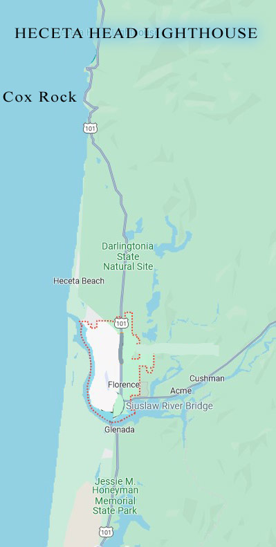
From North to South, Beginning at the Heceta Head Lighthouse:
Florence Beaches, Lighthouse, Cliffs and Florence Landmarks in dozens of Oregon Coast photos. Travel updates
Jump to Florence Travel News | Florence Weather | Florence Maps | Florence Traffic
LIST OF ALL FLORENCE OREGON BEACHES, PARKS, LANDMARKS - List of All Florence lakes
From North to South (MP's are on Hwy 101 only, other attractions nearby MP's are to west or east of highway):
–– MP 174: – Beach Access #90 (Muriel O. Ponsler) – Beach Access #91 (Carl G. Washburne State Park B‑40) – Beach Access #92 (Carl G. Washburne) –
–– MP 177: – - Beach Access #93 (Hobbit Beach and Trailhead)
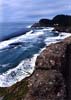
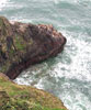
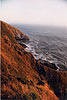
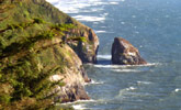
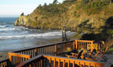
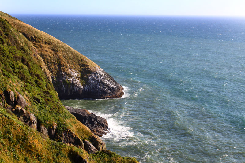
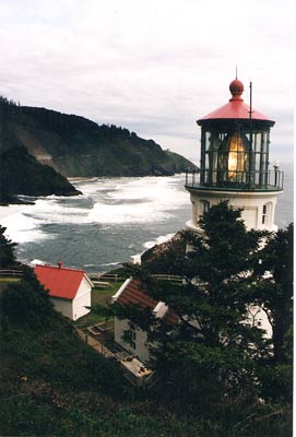
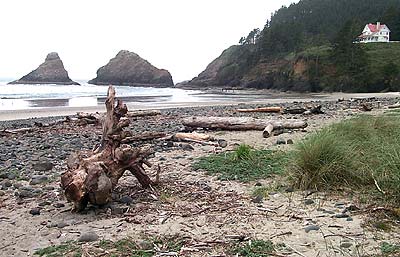
–– MP 178: – Beach Access #94 (Heceta Head Lighthouse) – Heceta Head Caves - Heceta Viewpoints - Wild Cliffs Near Heceta - Geology, Origins of Heceta Head – Lookouts S. of Heceta Head
-– MP 179: - Sea Lion Caves - Overflow parking + some viewpoints - Scenic, curvy drive, forestland - NF Road 58 (eastside)
-- MP 180: - Small Scenic Pullout (about 200 feet MP 180 sign) - Large Scenic Pullout - Cox Rock and Hidden Viewpoint - More forests and open vistas - Large Turnout called Southview Turnout -
-– MP 181: – Turnout and Beach Access #95 (Unnamed access) - Holman Vista Day Use Area (at end of Vist Road - west of 101) - Alder Dune, Dune Lake Park - Berry Creek Turnout - Second turnout (unnamed?) - Lily Lake
-- MP 182: – Beach Access #95A (Baker Beach Rd - Baker Beach Trailhead) – Lake Marr
-- MP 183: – Mussel Lake, Alder Lake, Dune Lake, Buck Lake - Beach Access #95B (parallel to Alder Lake but via Sutton Beach Rd) - Dune Lake, Buck Lake
– MP 184: - Sutton Lake
- – MP 185: - Darlingtonia Wayside (Meat-Eating Plants) – Vist Rd (Turn West)
–- MP 186 (Parallel to Heceta North): - Down Heceta Beach Road: Beach Access #96 (Heceta Beach North) - Beach Access #96A (Heceta Beach South)
–- MP 187: (Near Heceta Junction): - Siuslaw National Forest northern boundary roughly begins here
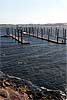
–- MP 188: - Harbor Vista County Park and jetties just south and west - South Jetty Crab Dock, Day Use (Oregon Dunes National Recreation Area) - Northern border Oregon Dunes National Recreation Area begins at the tip of the south peninsula - Beach Access #96A (Heceta Beach South) - Beach Access #97 (Siuslaw North Jetty) - Beach Access #98 (South Siuslaw Jetty) - Beach Access #99 (S. Jetty Parking #7) - Beach Access #100 (S. Jetty Parking #6, (memorial to mass stranding of whales in '79) - Beach Access #101 (S. Jetty Parking #5)
–- MP 189: - Beach Access #102 (S. Jetty Parking #4 on sand spit) - MP 190: - Hwy 126 junction - Beach Access #103 (S. Jetty Parking #3)
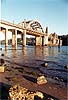
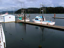
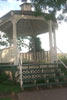
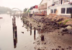
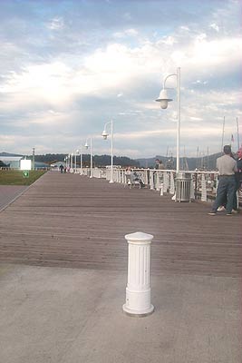
-- FLORENCE OLD TOWN - Old Town Park + Gazebo - Waterfront - Downtown - Port of Siuslaw Campground (just east of docks) - Siuslaw River Bridge
-- MP 191 (approximate): - Now Entering Glenada - Beach Access #104 (S. Jetty Parking #2, parallel to river / bridge) - Exploding Whale Memorial Park (riverfront) - Beach Access #105 (S. Jetty Parking #1) - Beach Access #106 (S. Jetty Staging)
-- MP 192: - Beach Access #107 (Goosepasture Sand Rd.)
-- MP 193: (northern tip of Woahink Lake): - Jessie M Honeyman State Memorial Park begins (northern border)
-- MP 194: (half mile south Cleawox Lake): - Beach Access #108 (Chapman’s Sand Road)
-- MP 195: (surrounded by Woahink Lake) - Long, forested drive, some campgrounds -
-- MP 196: - (Dunes City): - Beach Access #109 (Breach Sand Road) - Beach Access #109A (Breach Sand Road) - Beach Access #110 (Siltcoos)
-- Between MP 197 and MP 198: - Beach Access #111 (Wax Myrtle Beach) - Beach Access #112 (Carter Lake Trail) - Beach Access #113 (North Overlook Trail) - Lane / Douglas County line
Back to Top