Weather, Beach Hazards for Thanksgiving and Oregon / Washington Coast King Tides
Published 11/22/22 at 4:49 PM
By Oregon Coast Beach Connection staff
Includes exclusive listings; some specials in winter
In Cannon Beach:
Includes rentals not listed anywhere else
In Manzanita, Wheeler, Rockaway Beach:
Some specials for winter
In Pacific City, Oceanside:
Some specials for winter
In Lincoln City:
Some specials for winter
In Depoe Bay, Gleneden Beach:
Some specials for winter
In Newport:
Look for some specials
In Waldport
Some specials for winter
In Yachats, Florence
Some specials for winter
Southern Oregon Coast Hotels / Lodgings
Reedsport to Brookings, places to stay; winter deals
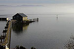
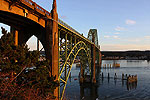
(Astoria, Oregon) – There's quite a mixed bag of reasons to head to the Oregon coast or Washington coast this weekend, not the least of which is Thanksgiving and the king tides along both shorelines. Thanksgiving (November 24) is the first day of the three-day king tides phenomena, and it will be the warmest day. Clocking in at near 60 and sunny on much of the Oregon and Washington coast, it actually gets a little over 60 degrees on Oregon's south coast. (Above: Yachats, photo Oregon Coast Beach Connection)
Travel over the Oregon Coast Range may be cause for some caution as the higher elevations could have some snow. Chances for that increase greatly on Monday.
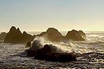
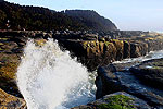
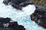
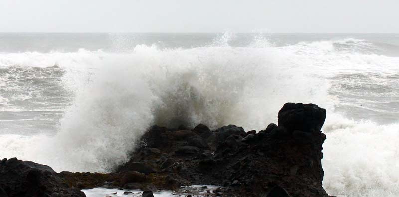
The good news for king tides aficionados is that it will be sunny and warm on Thursday / Turkey Day, which bodes well for documenting them. Also in the good news category is the wave action will be nicely dramatic on that day, due a train of higher swells coming in along with the king tides. However, the bad news is you probably shouldn't be on most beaches as this extra push from offshore conditions has created a Beach Hazards Statement from the National Weather Service (NWS).
See Oregon Coast Weather - Washington Coast Weather
King tides continue until Saturday, but rain sets in along with plenty of clouds, while the ocean may or may not calm down. See Get Ready for Wild(ish?) King Tides on Oregon Coast, Washington Coast
There are no beach hazard statements for the central Washington coast from about Wesport northwards.
The beach hazards statement is in effect for Thursday morning through the evening, from the southern Washington coast down through the state border at the southern Oregon coast.
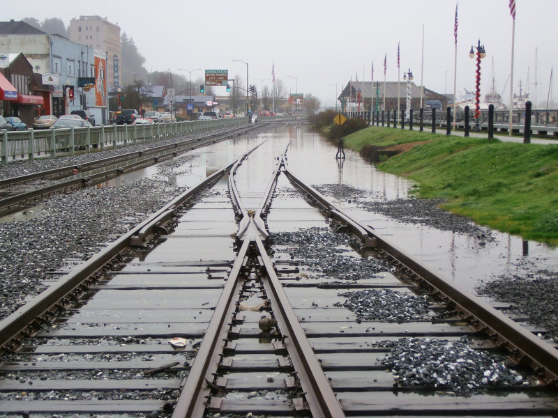
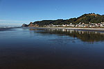
Coos Bay, courtesy Robert More / Oregon King Tides
Because of a string of larger offshore swells, the NWS said there is a greater chance of sneaker waves. That, coupled with king tides as high as 9 or 10 feet, is going to create some serious issues. It's best to stay off just about all beaches that day and stay on higher ground.
“Waves can run up significantly farther on a beach than normal, including over rocks and jetties,” the NWS said. “Sneaker waves can suddenly knock people off of their feet and quickly pull them into the frigid ocean which may lead to serious injury or drowning.”
The NWS said multiple long period swell trains are possible beyond Thursday. Another round looks to be coming in on Saturday morning, with a swell train of 11 to 14 feet at 14 to 16 seconds. Once you get waves over 11 feet or so and long periods between swells, this is a recipe for trouble along the beaches.
For your drive home, you may want to leave before sundown on Sunday night, as snow levels drop from 2300 to 2200 feet in some areas, which leaves the upper parts of Highway 26 with a good chance for some snow. That lowers to 1800 feet in many areas on Monday night, which would put the peaks of Highway 18 to Lincoln City under some snowy conditions.
Oregon Coast Hotels for this event - South Coast Hotels - Where to eat - Maps - Virtual Tours
Cannon Beach Lodging
Nehalem Bay Lodgings
Manzanita Hotels, Lodging
Three Capes Lodging
Pacific City Hotels, Lodging
Lincoln City Lodging
Depoe Bay Lodging
Newport Lodging
Waldport Lodging
Yachats Lodging
Oregon Coast Vacation Rentals
Oregon Coast Lodging Specials
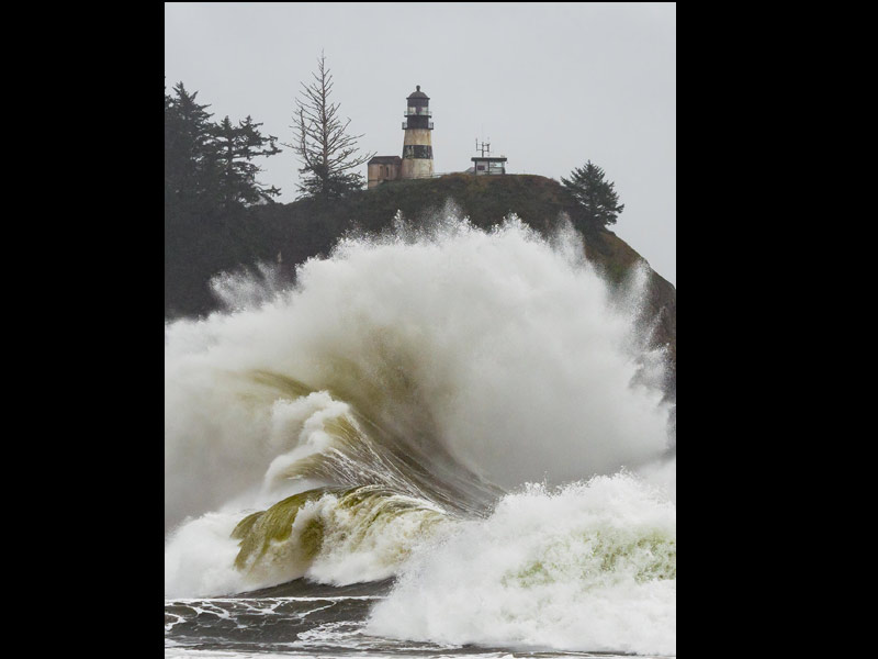
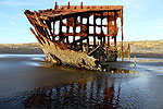
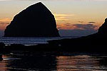
Cape Disappointment, Wash., photo courtesy Marie Marshall / Oregon King Tides
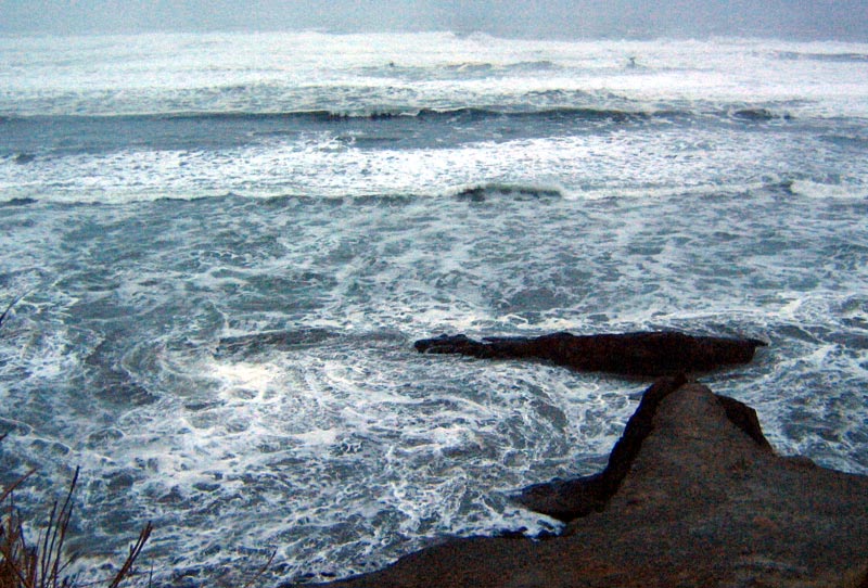
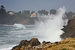
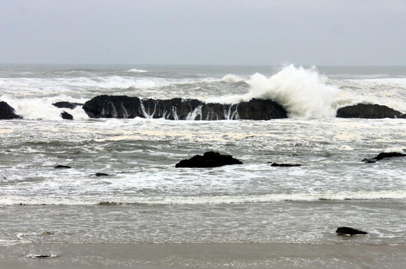
Photos above and below Oregon Coast Beach Connection
More About Oregon Coast hotels, lodging.....
More About Oregon Coast Restaurants, Dining.....
LATEST Related Oregon Coast Articles
From Florence to the very edges of Washington. weather
Oregon Coast's First 'Reviews' Came 220 Years Ago: Lewis and Clark in January
1806 here made its mark in history from Washington, Astoria, Warrenton to Seaside and Cannon Beach
S. Oregon Coast Missing Person Update: Coos County Officers at an Impasse in ...
Sheriff's office asking for help in any leads. Coos Bay, North Bend
S. Oregon Coast's Paradise Point Back Open After Salvage Effort of Grounded Ship
State park at Port Orford was closed for more than a week
2026 Beachcombers 'n Glass Float Expo Brings Real Glass Floats to Washington ...
Feb 14 through March 8 they're dropped; Expo at Ocean Shores March 7?8. Washington events
Portland Event a Fundraiser to Bring Sea Otter Back to Oregon Coast
The Oregon Otter Beer Festival at OMSI takes place April 11 to support restoration efforts. Portland events, Pacific City events, Lincoln City events, Depoe Bay events, Newport events, Manzanita events, Cannon Beach events. marine sciences
Velella Velella Hit the Oregon Coast and Washington - But Something is Different
Many of the creatures are smaller than usual, indicating unusual conditions offshore. Marine sciences
'Blood Moon' Eclipse Hits Skies of Oregon, Washington, Coast on March 3
March 3 just after midnight with totality at 3 a.m. Astronomy, weather
Back to Oregon Coast
Contact Advertise on Oregon Coast Beach Connection
All Content, unless otherwise attributed, copyright Oregon Coast Beach Connection. Unauthorized use or publication is not permitted


