Updates: Washington / Oregon Coast Surf, Winds, Travel Issues
Updated 11/14/20 at 4:55 PM PDT
By Oregon Coast Beach Connection staff
Includes exclusive listings; some specials in winter
In Cannon Beach:
Includes rentals not listed anywhere else
In Manzanita, Wheeler, Rockaway Beach:
Some specials for winter
In Pacific City, Oceanside:
Some specials for winter
In Lincoln City:
Some specials for winter
In Depoe Bay, Gleneden Beach:
Some specials for winter
In Newport:
Look for some specials
In Waldport
Some specials for winter
In Yachats, Florence
Some specials for winter
(Astoria, Oregon) – UPDATES: LASTEST ON THE STORMS HERE NOV 16 Wind Warnings for Washington, Oregon Coast, Gusts up to 80; Flood Advisory
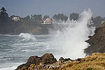
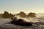
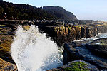
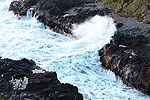
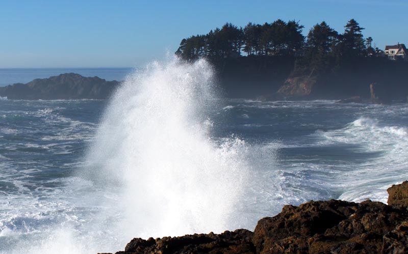
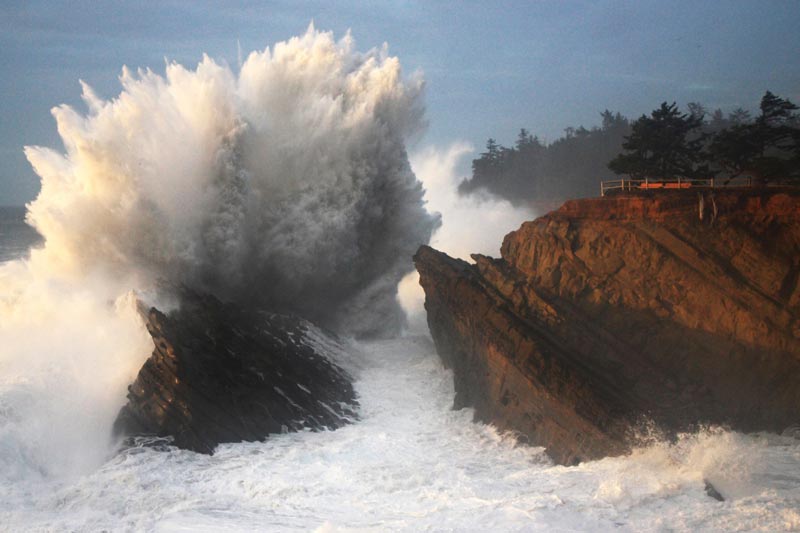
Throughout the Oregon coast and Washington coast, officials are urging caution this weekend through Wednesday as high surf and the increased dangers of sneaker waves will be present. A series of storms are coming through the area and could be adding to the already-large “king tides” of Sunday through Tuesday.
NOTE: Latest Updates as of Saturday:
- Beach Hazards Statement, Central Oregon Coast Through Washington Coast (Yachats through Raymond, Washington). Through Sunday afternoon. Watch out for sneaker waves, extra caution on beaches required. Stay off small beaches with cliff walls and no quick exit.
- High Wind Warning, South Oregon Coast, Central Coast (Gold Beach to Lincoln City). Until 10 p.m. Saturday. Winds 25 to 40 mph with gusts up to 65 mph.
- High Surf Advisory, Southern Coast (from Port Orford to Florence). Until 4 a.m. Sunday. Large breaking waves of 20 to 25 feet.
On top of it all, Oregon Department of Transportation (ODOT) is warning of travel issues along the Oregon coast and the Willamette Valley, and warning of snow issues in the Cascades.
Oregon Parks and Recreation Department (OPRD) and ODOT recently sent out weather impact warnings.
Watch Storms: a Large List of Oregon Coast Webcams
According to Colby Neuman of Portland’s office of the National Weather Service (NWS), the south Oregon coast as well as the Washington coast will be dealing with the same weather pattern and similar surf and wind issues as the northern half.
OPRD largely addressed the beaches, saying sneaker waves will be a greater danger today and Saturday, followed by the king tides event for the three days after that.
“Sneaker waves can surge up the beach, traveling much further inland than normal waves,” said OPRD Safety Specialist Robert Smith. “The common adage to ‘never turn your back to the ocean’ is even more important at this time.”
King tides bring out more people at a time when it’s even more dangerous: a spooky combo.
“King tides bring huge waves, and naturally people want to come watch,” Smith said. “We want to remind you of a few tips to stay safe.”
Smith said beachgoers must respect closures and barricades, stay off the sand and watch the waves from an elevated location well above the action.
Luckily, predictions earlier in the week of 35-foot waves are not happening, but there’s still plenty to be on the lookout for.
NWS meteorologist Colby Neuman told Oregon Coast Beach Connection waves coming onshore will be in the 15-foot or so range this weekend.
“They may rise into to 20 feet Saturday afternoon,” he said.
While these are large and present plenty of possible dangers, that range falls just below the criteria for a surf advisory. He did add, however, that an advisory is still possible Saturday or even over the next few days as more storm fronts move in.
King tides alone do not bring on a high surf advisory, Neuman said, but this weekend through the midweek sees multiple storm fronts coming and going, all of which could be adding to king tides or creating high wave height dangers on their own. This could still bring surf advisories or warnings.
See Oregon Coast Weather - Washington Coast Weather
“We could be flirting with a high surf advisory,” he said.
See Willamette Valley Road Conditions
Meanwhile, ODOT is urging extreme caution on the roads this weekend. Gusty winds and a lot of rain are expected to hit the Oregon coast and Willamette Valley Thursday night and lasting into Saturday, the agency said, while some mountain snow is coming for the higher mountain ranges (not the coast range).
The wind and rain may bring down trees and cause slides, especially in areas where the September wildfires stripped away the underbrush.
ODOT asks travelers to think twice before driving over the mountain passes which are expected to get several inches of snow.
Oregon Coast Hotels for this event - Where to eat - Map - Virtual Tour
Cannon Beach Lodging
Nehalem Bay Lodgings
Manzanita Hotels, Lodging
Three Capes Lodging
Pacific City Hotels, Lodging
Lincoln City Lodging
Depoe Bay Lodging
Newport Lodging
Waldport Lodging
Yachats Lodging
Oregon Coast Vacation Rentals
Oregon Coast Lodging Specials
More About Oregon Coast hotels, lodging.....
More About Oregon Coast Restaurants, Dining.....
LATEST Related Oregon Coast Articles
There may be a reward in it for helping to find the person responsible. Safety
Low Tides Herald Return of Oregon Coast Icon: Cannon Beach Sandcastle Fest 2026
June 19 - 21 is this year's date, ending with a concert. Cannon Beach events
Two More Whales Wash Up on Washington Coast This Week: One a Rarity
One a Baird's beaked whale the other the 11th gray whale in a month. Marine sciences, Ocean Shores, Moclips
Pacific Fishery Management Settles on 2026 Oregon Coast Salmon Seasons, Keepi...
Some of the guidance keeps whale food sources in consideration. Marine sciences
One of the Trails at N. Oregon Coast's Ecola State Park Just Crumbled Into th...
Clatsop Loop Trail has become very dangerous ? and showed pictures why. Hiking, traffic, Cannon Beach
Some New Options for Spending the Night at N. Oregon Coast's Pacific City
At least four new finds in the world of vacation rentals. Pacific City hotel reviews, Pacific City vacation rental news
Fatal Crash on Southern Oregon Coast Involves Three Cars, Nearly Hitting Police
Another wreck killed one man near Welches. Coos Bay, Bandon, traffic
N. Oregon Coast Writing Contest: Winning Words for the Astoria Column
Open to Washington and Oregon residents. Astoria events
Back to Oregon Coast
Contact Advertise on BeachConnection.net
All Content, unless otherwise attributed, copyright BeachConnection.net Unauthorized use or publication is not permitted


