Greater Sneaker Wave Dangers on Oregon Coast / Washington Coast: King Tides and Sunny Skies
Published 11/21/23 a 5:45 p.m.
By Oregon Coast Beach Connection staff
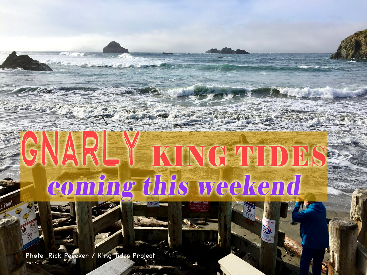
(Long Beach, Washington) – Plenty of elevated sneaker wave threats are coming to the Oregon coast and Washington coast over the holiday weekend, which started today (Tuesday) with a sneaker wave alert that is expiring right about now. However, the National Weather Service (NWS) said more are on the way after sneaker wave threats lessen on Thanksgiving, then ramping up again over the weekend as the king tides hit. (Photo courtesy Rick Poecker / King Tides Project: Bandon's Coquille Point access under water)
Includes exclusive listings; some specials in winter
In Cannon Beach:
Includes rentals not listed anywhere else
In Manzanita, Wheeler, Rockaway Beach:
Some specials for winter
In Pacific City, Oceanside:
Some specials for winter
In Lincoln City:
Some specials for winter
In Depoe Bay, Gleneden Beach:
Some specials for winter
In Newport:
Look for some specials
In Waldport
Some specials for winter
In Yachats, Florence
Some specials for winter
Southern Oregon Coast Hotels / Lodgings
Reedsport to Brookings, places to stay; winter deals
“The sneaker wave threat will remain elevated through Wednesday,” the NWS said.
Even so, both coastlines are looking at stellar weather for the entire week and weekend, with sunny skies and relatively warm temps in the upper 50s.
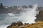
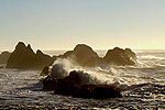
Those tidal predictions are for the entire Oregon coast and south Washington coast – from Brookings up through Westport. Large swells offshore at 10 to 14 feet are expected over the weekend, coinciding with the king tides from Friday through Sunday, which bring high tides up as high as 10 feet.
Those, combined with a long period between waves, create larger sneaker wave dangers, as waves can pile up together offshore and come in as one very large single wave that shoots up the beach much higher and more powerfully.
They are called sneaker waves because they literally sneak up on you and surprise you.
With the high-density weekend of king tide observers and holiday visitors, NWS is ramping up their warning messages. Do not turn your back on the ocean.
In fact, it is likely there will be more stern warnings for the entire Oregon coast and Washington coast over the weekend, as king tide surges combine with the already-heavy waves piling in offshore beginning today.
Heavy wave action begins taking a break on Wednesday, backing off somewhat on Thanksgiving. Then more powerful – and worrisome – waves begin.
“Another large, long period swell appears poised to arrive Friday or Saturday, and this swell appears more energetic than today's with model guidance suggesting the swell arriving as a 10-12 ft/17-19 sec swell,” the NWS said.
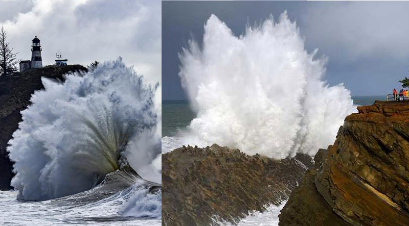
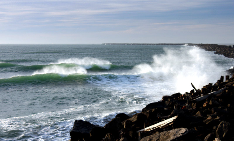
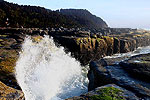
Cape Disappointment at left; Shore Acres at right
A 17- to 19-second period between swells is unusually large and does not bode well for beach safety. It's going to get spectacular to watch but more dangerous.
The NWS said it is seeing a good possibility that some of its wave predictions may be on the low side right now. Surges could well be even higher.
See Washington Coast Weather - Oregon Coast Weather
King tides are where the sun and moon combine to create much larger-than-usual high tides, which happens about four times a year in the winter. The King Tides Project of Oregon and Washington State's King Tides Project are asking people to go out and photograph the high tide impacts and then submit them – see the king tides article.
However, safety must be kept in mind: stay up on high ground, far above the beaches as you document these unusual but dramatic situations.
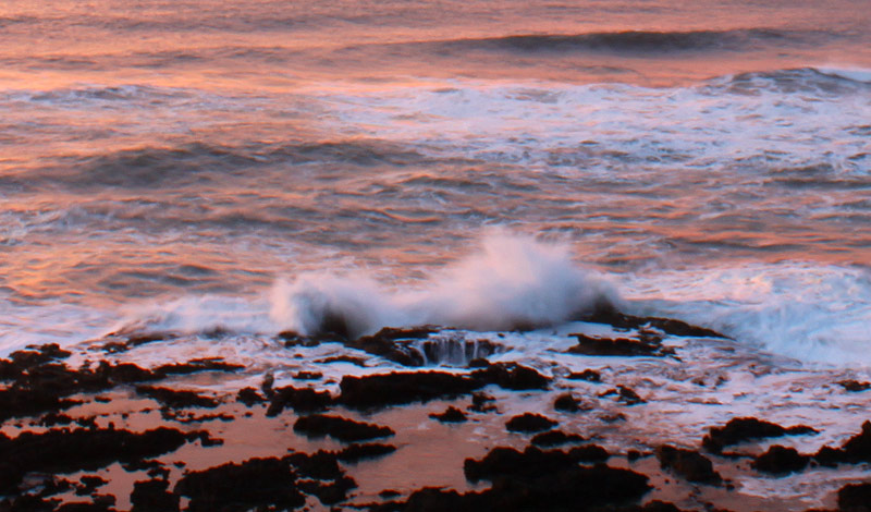
Even if you're not snapping pics for the King tides projects, rocky ledge areas like Yachats, Depoe Bay, Oceanside, Cape Disappointment or Shore Acres will be amazing.
Sunny and warm skies are expected along both coastlines through Monday, leaving ideal conditions to enjoy the manic wave action – but from afar.
Oregon Coast Hotels for this event - South Coast Hotels - Where to eat - Maps - Virtual Tours
Cannon Beach Lodging
Nehalem Bay Lodgings
Manzanita Hotels, Lodging
Three Capes Lodging
Pacific City Hotels, Lodging
Lincoln City Lodging
Depoe Bay Lodging
Newport Lodging
Waldport Lodging
Yachats Lodging
Oregon Coast Vacation Rentals
Oregon Coast Lodging Specials
More About Oregon Coast hotels, lodging.....
More About Oregon Coast Restaurants, Dining.....
 Andre' GW Hagestedt is editor, owner and primary photographer / videographer of Oregon Coast Beach Connection, an online publication that sees over 1 million pageviews per month. He is also author of several books about the coast.
LATEST Related Oregon Coast Articles
Winter's Local Vacation Loot brings you freebies at dining, adventures. Hotel specials. Coos Bay events
Oregon Coast Construction Traffic Updates: Astoria, Lincoln City, Highway 6
Dates vary throughout February and some farther into 2026
New and Old Pals in Lincoln City As Feb Unveils Different Features for Oregon...
Food truck gets a building, a new park, Lincoln City events, vintage shop digital tour, more. Lincoln City's annual Retro Expo returns Feb. 6 - 16, Winter Waters dining series, Natural Arts 'n Science on Feb. 19, Finders Keepers
Numerous Traffic Accidents Near or on Oregon Coast in February, Some Fatal
Incidents around Bandon, Coast Range, Lincoln City, some criminal
Sneaker Wave Alerts From S. Oregon Coast to Central Washington Coast - 16-ft ...
High tides will worsen it Friday; even higher waves are possible. Weather
Oregon State Police Make Arrest in Gearhart Bomb Case; Two Crashes Near Coast...
A bomb case has been solved; OSP respond to two major crashes in region. True crime
Work on Oregon-to-Washington Coast Bridge Over: Timelapse of Astoria-Megler P...
Crews took down the last remnant of the toll booths after becoming unstable
Last Night's Aurora Shots from Oregon Coast
A strong storm seen from Newport, Bandon, Port Angeles, Florence, Pacific City, Cannon Beach and more. Astronomy. Sciences
Back to Oregon Coast
Contact Advertise on Oregon Coast Beach Connection
All Content, unless otherwise attributed, copyright Oregon Coast Beach Connection. Unauthorized use or publication is not permitted


