Washington / Oregon Coast Sneaker Wave Dangers; Snow in Passes
Published 12/11/21 at 6:22 PM PST
By Oregon Coast Beach Connection staff
Includes exclusive listings; some specials in winter
In Cannon Beach:
Includes rentals not listed anywhere else
In Manzanita, Wheeler, Rockaway Beach:
Some specials for winter
In Pacific City, Oceanside:
Some specials for winter
In Lincoln City:
Some specials for winter
In Depoe Bay, Gleneden Beach:
Some specials for winter
In Newport:
Look for some specials
In Waldport
Some specials for winter
In Yachats, Florence
Some specials for winter
Southern Oregon Coast Hotels / Lodgings
Reedsport to Brookings, places to stay; winter deals
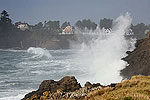
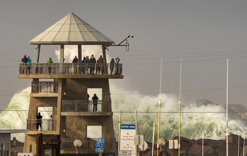
(Seaside, Oregon) – The fun here never stops. Now that the heavy wind event is over for the Oregon coast and Washington coast, it's time for gnarly waves on the beaches and snow in the Coast Range passes. 20-foot waves will be crashing on the south coast. (Above: Westport, Washington, courtesy Westport Visitors / Experience Westport)
The National Weather Service (NWS) offices in Seattle, Portland and Medford have issued a variety of different warnings and statements, with a high wind advisory for the south Oregon coast, a statement about increased danger of sneaker waves on the northern half and southern Washington coast, and a winter weather advisory for the Coast Range passes.
There are also plenty of warnings about heavy snow issues in the Cascades and the possibility of snow in the higher elevations of the valley.
See Oregon Coast Weather - Washington Coast Weather
“Sneaker wave chances increase this weekend through Monday,” the NWS said in a bulletin. “This means that there may be higher energy waves that will run up beaches farther than other waves. With sneaker waves, they can easily dislodge logs from the shoreline, and knock people and animals off of jetties. Remember to never turn your back to the ocean, and keep an eye on children.”
For the northern half of the Oregon coast and southern part of Washington's coastline, the NWS issued a simple beach hazards statement, in effect from tonight through Sunday and Monday.
On the south coast, it's a high surf advisory for the areas of Reedsport, Coos Bay, Bandon and Brookings, in effect from today through 4 p.m. on Monday.
“An approximately 18 ft at 14 second westerly swell pushes ashore,” the NWS said of the upper half. “This will result in an increased risk of sneaker waves along the coast. “The surf zone will be more dangerous than usual, as high-energy swells may result in powerful surf that can easily sweep people or animals off rocks and beaches and into the cold water.”
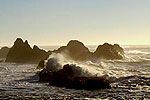
Down south in Curry, Douglas and Coos counties, large breaking waves of 20 to 25 feet are expected.
“Large breaking waves will create hazardous conditions along and within the surf zone, and could inundate beaches and low lying shorelines,” the NWS said. “Beach erosion is possible, and exposed infrastructure may be damaged.”
Enormous amounts of rain will be pummeling the region through Monday, with as much as two inches coming down through that day. Sunday may also see thunderstorms along the coastline, which will make for an exciting storm-watching atmosphere.
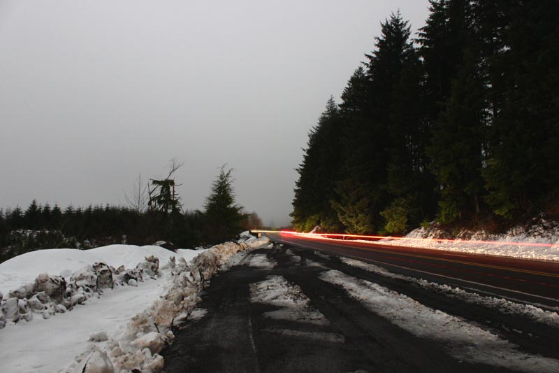
Along the Coast Range passes from the Washington coast's Willapa Hills down through the Florence – Eugene area, there is a Winter Weather Advisory in effect through late Sunday evening. Snow levels will drop down to 1500 feet, according to the NWS, resulting in snow accumulations of 3 to 7 inches. Driving could be an issue, especially at night.
“Travel could be challenging at times,” the NWS said. “Slow down and use caution while traveling. The latest road conditions for the state you are calling from can be obtained by calling 5 1 1.”
Oregon Coast Hotels in this area - South Coast Hotels - Where to eat - Maps - Virtual Tours
Cannon Beach Lodging
Nehalem Bay Lodgings
Manzanita Hotels, Lodging
Three Capes Lodging
Pacific City Hotels, Lodging
Lincoln City Lodging
Depoe Bay Lodging
Newport Lodging
Waldport Lodging
Yachats Lodging
Oregon Coast Vacation Rentals
Oregon Coast Lodging Specials
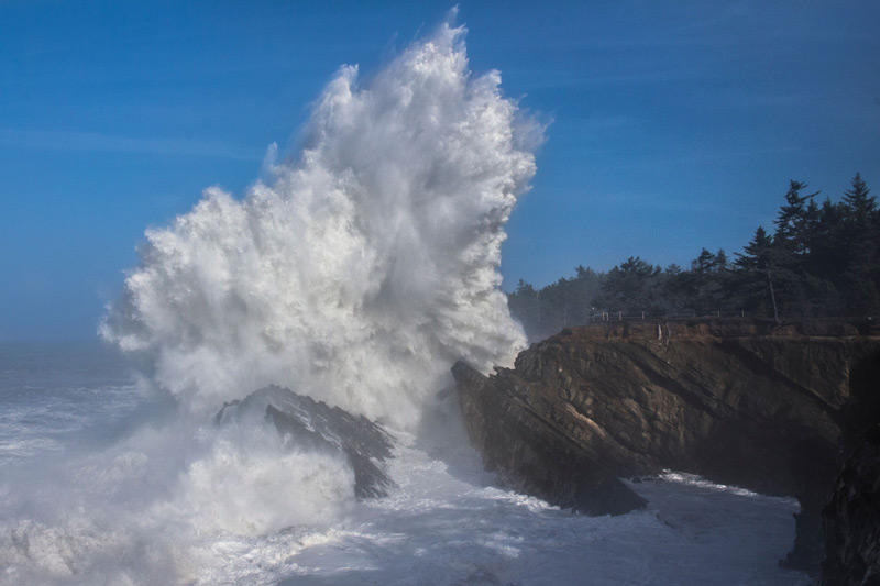
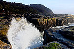
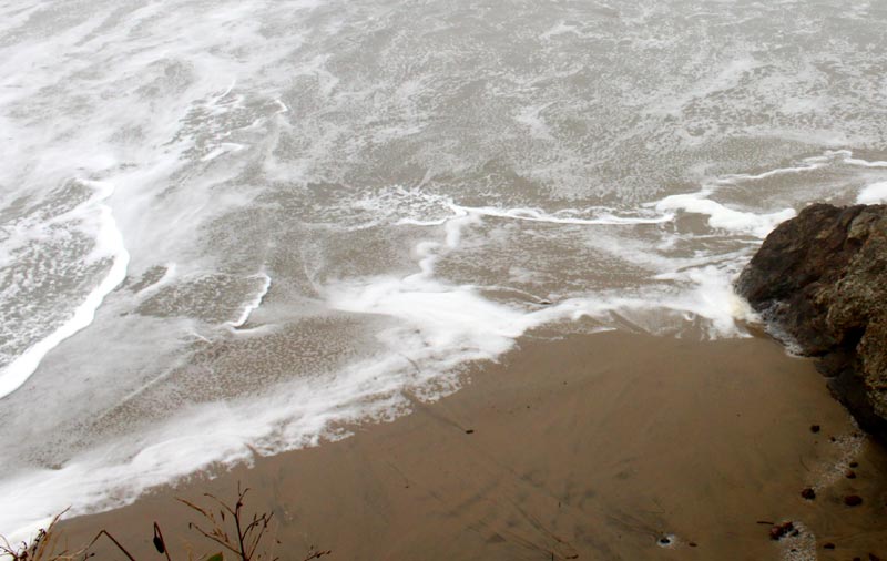
Photo above courtesy Coos Bay's Oregon's Adventure Coast
More About Oregon Coast hotels, lodging.....
More About Oregon Coast Restaurants, Dining.....
LATEST Related Oregon Coast Articles
From Portland and Vancouver to eastern Oregon, Cascades and as far south as Madras and Albany. Weather
Washington / Oregon Travel: Gas Prices Jump More Than Usual As War Heightens
Sharper rise because of crude oil and other factors. Traffic, travel tips
Virtual Oregon Coast Field Trip: How to Chomp on Yum-Yums from Netarts Bay
Producers of the Bay series on Wednesday, March 18, from 6:30 to 7:30 p.m. Oceanside events, Pacific City events, Lincoln City events, Garibaldi events, Tillamook events
A Staple for Oregon Coast Spring Break, Festival of Illusions Hits Lincoln Ci...
2026 Festival of Illusions, March 22-27. Pacific City events, Lincoln City events, Depoe Bay events, Newport events
Dusting of Snow for Much of NW Oregon Tonight a March Curiosity
Snow levels down to 500 ft tonight, with the Coast Range and Cascades seeing heavier impacts. Weather
Controversial Lodging Tax Passed by Oregon Lawmakers
While the measure helps wildlife and ranchers, it will increase hotel rates statewide. Hotel news, Astoria hotel news, Seaside hotel news, Cannon Beach hotel news, Manzanita hotel news, Rockaway Beach hotel news, Garibaldi hotel news, Pacific City hotel news, Lincoln City hotel news, Depoe Bay hotel news, Newport hotel news, Yachats hotel news, Bandon hotel news, Coos Bay hotel news, Brookings hotel news, Florence hotel news
Back to Oregon Coast
Contact Advertise on BeachConnection.net
All Content, unless otherwise attributed, copyright BeachConnection.net Unauthorized use or publication is not permitted


