Killer Waves (Both Good and Bad) for Oregon / Washington Coast - Snow in Coast Range, Portland, Seattle
Published 2/24/24 at 6:25 p.m.
By Oregon Coast Beach Connection staff
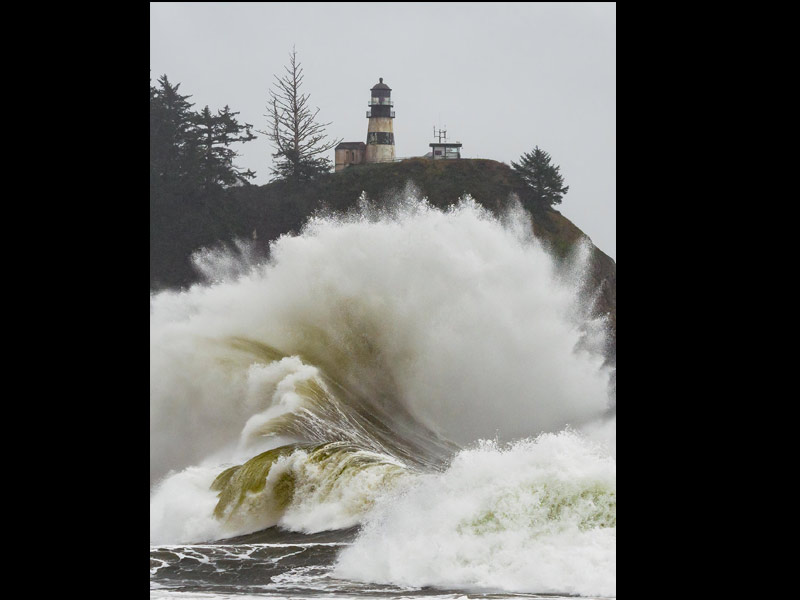
(Oregon Coast) – There's going to be killer waves – in the good sense and the bad sense – on the Oregon / Washington coast, and varying amounts of snow around the Pacific Northwest from the Coast Range, Salem and Portland to Seattle. (Photo of Cape Disappointment courtesy Washington King Tides / Marie Marshall)
Includes exclusive listings; some specials in winter
In Cannon Beach:
Includes rentals not listed anywhere else
In Manzanita, Wheeler, Rockaway Beach:
Some specials for winter
In Pacific City, Oceanside:
Some specials for winter
In Lincoln City:
Some specials for winter
In Depoe Bay, Gleneden Beach:
Some specials for winter
In Newport:
Look for some specials
In Waldport
Some specials for winter
In Yachats, Florence
Some specials for winter
Southern Oregon Coast Hotels / Lodgings
Reedsport to Brookings, places to stay; winter deals
There's a winter weather advisory up for the Oregon Coast Range for Sunday and Monday – along with the Willapa Hills of Washington. The National Weather Service (NWS) has also issued a special statement about especially dangerous sneaker waves for the entire length of the Oregon coast and much of the Washington coastline on Sunday.
Meanwhile, there's going to be copious amounts of snow in the Washington and Oregon Cascades.
The NWS issued a beach hazards statement for all areas of the Oregon coast (Brookings, Coos Bay, Florence, Newport, Manzanita, Seaside) into the south Washington coast (through to Westport). This is in effect until late Sunday night but expires a little earlier on the south Oregon coast.
Sneaker waves are possible on all these beaches, meaning waves can suddenly run up the beach much farther and unexpectedly, taking people by surprise and literally taking them out.
“Sneaker waves can suddenly knock people off of their feet and quickly pull them into the frigid ocean which may lead to serious injury or drowning,” the NWS said.
See Washington Coast Weather - Oregon Coast Weather
Use caution while on the beaches, the NWS said.
Offshore seas are building to 9 to 12 feet on Sunday and even higher on Monday, the NWS said, which is creating its own hazard warnings for mariners.
However, it's the period between swells that is going to dictate the possibilities of sneaker waves.
“The next storm system approaching the Pacific Northwest will produce a northwesterly swell on Sunday with swell heights up to 9 to 11 ft at 15 seconds,” the NWS said.
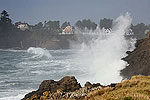
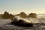
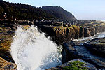
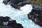
Numbers like these translate to great wave watching, especially rocky areas like Cape Disappointment in Washington, south Oregon coast's Shore Acres or Yachats – possibly even more so on Monday as higher waves are predicted but not the same period timing.
Sunday's high tides in the afternoon will present the biggest dangers.
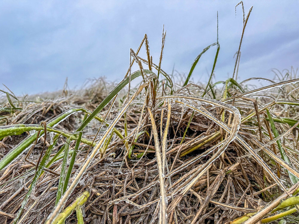
Seaside Aquarium / Tiffany Boothe
Coast Range passes are going to hit in their own way.
The winter weather advisory for the north and central Oregon Coast Range and Willapa Hills is in effect from 7 p.m. Sunday to p.m. Monday, with snow coming above 1,000 feet. These areas could be seeing as much as two to five inches. The Cascades are looking at much higher amounts, and all snowy areas may have some visibility issues.
“Gustier winds up to 40-50mph will be possible at exposed areas, leading to visibility concerns due to blowing snow at times,” the NWS said on its Forecast Discussion page.
All across the western half of Washington and Oregon, nighttime temps will dive and moisture is in the cards for much of the week. Look for increased chances of a snow and rain mix at times up through Seattle starting Monday and going through Friday. From Vancouver, WA. and Portland southward the possibilities of snow mixes start later in the week. Higher elevations of areas like Portland or Seattle may get some minor accumulation. MORE PHOTOS BELOW
Oregon Coast Hotels for this event - South Coast Hotels - Where to eat - Maps - Virtual Tours
Cannon Beach Lodging
Nehalem Bay Lodgings
Manzanita Hotels, Lodging
Three Capes Lodging
Pacific City Hotels, Lodging
Lincoln City Lodging
Depoe Bay Lodging
Newport Lodging
Waldport Lodging
Yachats Lodging
Oregon Coast Vacation Rentals
Oregon Coast Lodging Specials
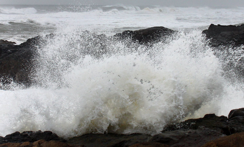
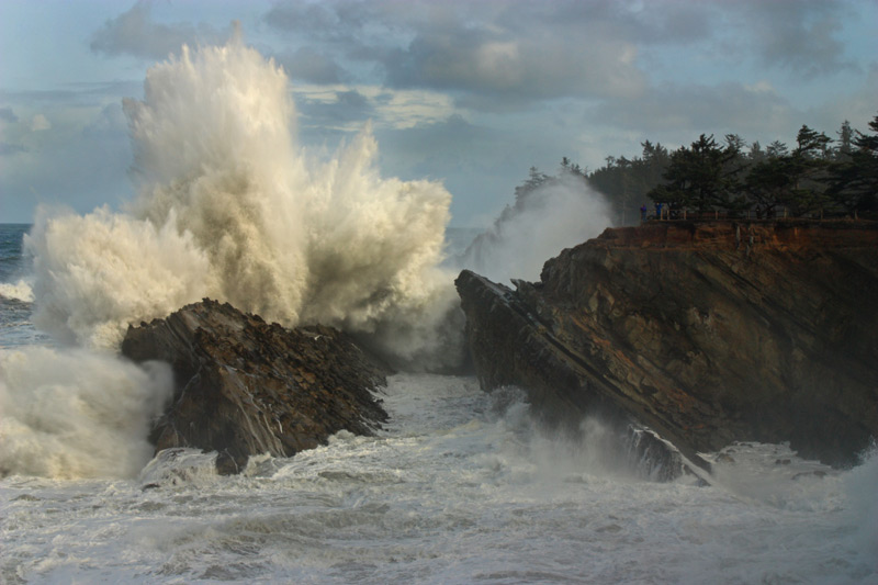
Shore Acres, Coos Bay, courtesy Oregon's Adventure Coast
More About Oregon Coast hotels, lodging.....
More About Oregon Coast Restaurants, Dining.....
 Andre' GW Hagestedt is editor, owner and primary photographer / videographer of Oregon Coast Beach Connection, an online publication that sees over 1 million pageviews per month. He is also author of several books about the coast.
LATEST Related Oregon Coast Articles
Hazardous Seas Watch on N. Oregon Coast, S. Washington Coast, Waves Up To 15 FtBeaches will require caution but some good wave shows possible
UPDATED: Sneaker Wave Alerts and High Surf Advisories for North Oregon Coast,...
From Florence to the very edges of Washington. weather
South Oregon Coast's Wreck of the Sujameco: Where (and When) to Find It
Coos Bay: the other big wreck of the coastline at Horsfall Beach. History
Oregon's Tillamook Coast Funds Major Upgrades, Facilities, Including Lighthou...
Water tower for train ride, hiking trails, restrooms, more. Oceanside, Garibaldi, Rockaway Beach, Pacific City, Nehalem, Manzanita
Central Oregon Coast's 'Dr Dune' Center of Show in Florence: Sandboarding as Art
Through the end of February, see sandboards that are true art. Florence events
Oceanfront Kitchettes in Seaside, Near Gearhart, Near Cannon Beach
Large rooms right up against the surf and Promenade. Watch for whales as you prepare a meal. Seaside reviews, hotel reviews, specials
Brays Point: Expansive View Near Middle of Oregon Coast Hiding in Plain Sight
Between Yachats and Florence, Brays Point stands out in a standout stretch
Monks and a Mandala - An Extraordinary Weekend at Central Oregon Coast's Yachats
Tuesday, February 17, through Sunday, February 22, at Yachats Commons. Yachats events
Back to Oregon Coast
Contact Advertise on Oregon Coast Beach Connection
All Content, unless otherwise attributed, copyright Oregon Coast Beach Connection. Unauthorized use or publication is not permitted


