Surf Advisories Oregon, Washington Coast, Waves 20 Ft This Weekend - Maybe Bigger This Week
Published 1/06/24 at 2:25 p.m.
By Oregon Coast Beach Connection staff
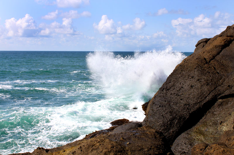
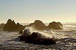
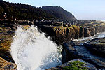
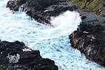
(Oregon Coast) – A high surf advisory is in place along the entire Washington coast and Oregon coast until late Saturday night, with possibly more adverse beach conditions this week. All this happens as a fair degree of snow is coming to the Cascades, maybe a dab in the Oregon Coast Range – and it looks like snow later in the week for Portland and other valley areas.
Includes exclusive listings; some specials in winter
In Cannon Beach:
Includes rentals not listed anywhere else
In Manzanita, Wheeler, Rockaway Beach:
Some specials for winter
In Pacific City, Oceanside:
Some specials for winter
In Lincoln City:
Some specials for winter
In Depoe Bay, Gleneden Beach:
Some specials for winter
In Newport:
Look for some specials
In Waldport
Some specials for winter
In Yachats, Florence
Some specials for winter
Southern Oregon Coast Hotels / Lodgings
Reedsport to Brookings, places to stay; winter deals
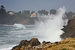
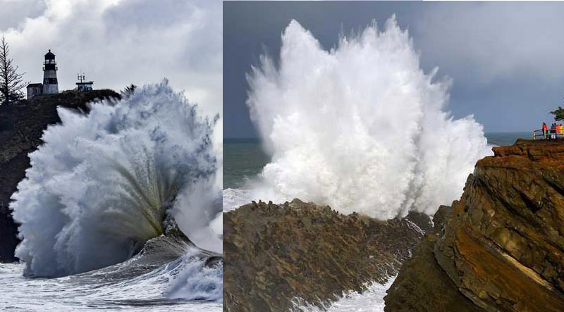
The National Weather Service offices in Seattle, Portland and Medford issued the surf advisories from Brookings all the way through the Olympic Peninsula, with breakers up to 20 feet along the beaches. Areas like Westport, Newport, Long Beach, Bandon, Yachats, Seaside and everywhere in between are going to see dangerous conditions.
The NWS is urging to stay off the beaches, and stay far back along viewing areas.
“Sneaker waves are likely with these types of sea conditions,” the NWS said. “Surfing, swimming, fishing, boating, and observing large waves from rocks or coastal structures during high surf conditions is dangerous. All large waves are not alike. There is often an extra large breaker that can suddenly sweep a person overboard or off a large rock with no warning. The safest place to be during high surf conditions is in port and well away from breaking waves.”
Small beaches with no quick exit to higher ground – especially those with cliff walls behind you – will be very deadly. These include areas like much of Bandon, Lincoln City, Brookings, Gleneden Beach, and Oceanside.
See Washington Coast Weather - Oregon Coast Weather
For the southern Oregon coast, such as Gold Beach, Port Orford, Coos Bay and Reedsport, wave height will be higher at up around 24 feet at times. That region gets a second large run of waves on Saturday after tonight's initial push.
Wave height on much of the Washington coast won't be as big, at around 13 to 18 feet.
While these conditions calm Sunday, Tuesday may see an even bigger event, with combined seas over 20 feet while a combination of swells from two different directions join in.
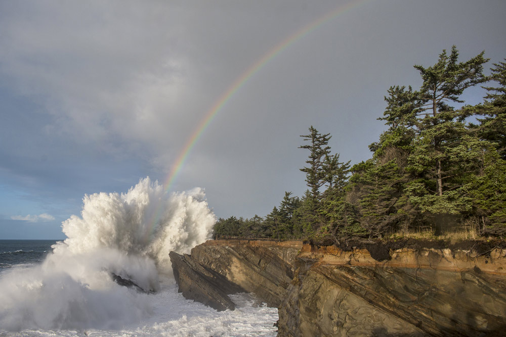
Photo courtesy Oregon's Adventure Coast
This is not the time to go beachcombing or look for agates, although after this run of storms there will likely have been considerable erosion and good gravel beds.
King Tides takes place this coming Thursday.
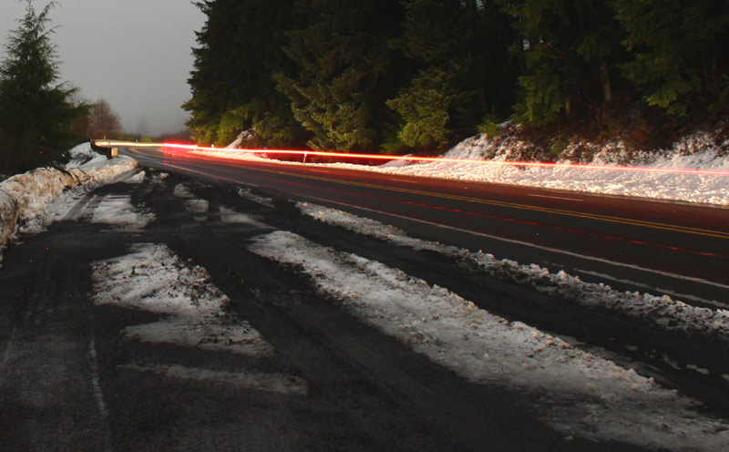
Snow is the other big headline in regional weather, with one foot or more hitting the Cascades this weekend.
“Expect accumulating snow above 2500 ft this weekend (Sat-Sun), including the Cascade passes where around 1 foot or more of snow is forecast,” the NWS said. “Be prepared for winter weather conditions if traveling to the Cascades.”
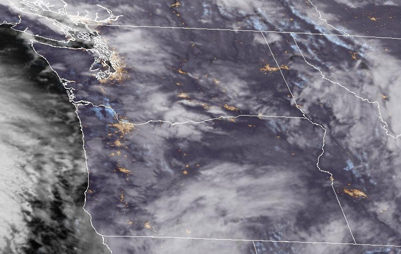
Snow in the NW, courtesy NASA
However, later in the week, the NWS said snow is definitely a possibility for places like Portland through Eugene and other parts of the valley. Snow levels are predicted to lower to 1200 feet on Wednesday but get down to 400 feet on Thursday.
Oregon Coast Hotels in this area - South Coast Hotels - Where to eat - Maps - Virtual Tours
Cannon Beach Lodging
Nehalem Bay Lodgings
Manzanita Hotels, Lodging
Three Capes Lodging
Pacific City Hotels, Lodging
Lincoln City Lodging
Depoe Bay Lodging
Newport Lodging
Waldport Lodging
Yachats Lodging
Oregon Coast Vacation Rentals
Oregon Coast Lodging Specials
More About Oregon Coast hotels, lodging.....
More About Oregon Coast Restaurants, Dining.....
 Andre' GW Hagestedt is editor, owner and primary photographer / videographer of Oregon Coast Beach Connection, an online publication that sees over 1 million pageviews per month. He is also author of several books about the coast.
LATEST Related Oregon Coast Articles
A look at rule details, how it affects creators. Weather
Ecola State Park and Hug Point Updates: Two Major Oregon Coast Parks Still No...
Good and bad news for the Cannon Beach-area hotspots will be a bit longer. Safety, traffic
One of the Trails at N. Oregon Coast's Ecola State Park Just Crumbled Into th...
Clatsop Loop Trail has become very dangerous ? and showed pictures why. Hiking, traffic, Cannon Beach
Fireworks Return to Lincoln City, But Major Changes As It Focuses on Oregon C...
Show is moved to Devils Lake because of a wildlife reserve, but events stay in Taft. Lincoln City events
Camping and Parking Rate Hikes Kick In Around Oregon, Coastline - More Possible
This season means higher rates and more could be coming. Sciences, travel tips
Oregon Coast's Florence Bumps Up Its Color Factor with Bright Hanging Flower ...
More flower baskets will cover city streets this year. Florence events
Making the Ordinary a Special Occasion at Lincoln City's Inn at Wecoma - Cent...
The inn features standout special packages and is pup friendly. Lincoln City hotel reviews, specials
'Secret Season' on Oregon Coast: April and May's Unique Aspects
Whales, the most photogenic skies of the year, wild foam and minus tides. Weather, marine sciences, travel tips, traffic
Back to Oregon Coast
Contact Advertise on Oregon Coast Beach Connection
All Content, unless otherwise attributed, copyright Oregon Coast Beach Connection. Unauthorized use or publication is not permitted


