Caution on Oregon Coast Range, Washington Coast Routes: Snow This Week
Published 12/18/22 at 4:15 AM
By Oregon Coast Beach Connection staff
Includes exclusive listings; some specials in winter
In Cannon Beach:
Includes rentals not listed anywhere else
In Manzanita, Wheeler, Rockaway Beach:
Some specials for winter
In Pacific City, Oceanside:
Some specials for winter
In Lincoln City:
Some specials for winter
In Depoe Bay, Gleneden Beach:
Some specials for winter
In Newport:
Look for some specials
In Waldport
Some specials for winter
In Yachats, Florence
Some specials for winter
Southern Oregon Coast Hotels / Lodgings
Reedsport to Brookings, places to stay; winter deals
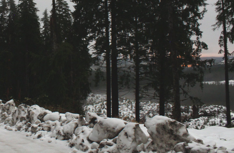
(Oregon Coast) - Snow, snow and more snow: that's kind of the message that's being sent out from various weather outlets, for the lower parts of the Willamette Valley, Portland and Vancouver, Washington. Yet the Oregon Coast Range and some routes to the Washington coast are going to be much more of a winter wonderland in the next week – but in a far more annoying way. (Photo of Highway 26 in snow at night, Oregon Coast Beach Connection)
According to the National Weather Service (NWS), the north Oregon Coast Range will begin to get snow later today (Sunday) and it'll stick around through most of the week, making your trips to and from the beaches perhaps a little icy and dicey at times.
The same goes for the Lower Chehalis area and SR-12 towards the Washington coast, and the Willapa Hills closer to Long Beach.
The NWS said to look for a few inches of snow in the Oregon Coast Range, mostly in the upper elevations for Highway 26 towards Seaside / Cannon Beach and Highway 18 towards Lincoln City. Snow levels drop to 1500 feet on Sunday and then down to 500 feet after midnight. It stays there through Wednesday, providing fairly good chances of snow with accumulations up to one inch per day. This may cause more road condition problems on much of Higways 18 and 26, along with OR 6 to Tillamook and OR 126 to Florence.
On Wednesday and later that night, snow levels rise to 1500 feet but with a chance of freezing rain on Thursday. That will be dangerous for any road to the Oregon coast or the Washington coast and the lower valley.
See Oregon Coast Weather - Washington Coast Weather
See Oregon Coast Traffic Conditions
Snow levels begin rising after that and so far the forecast shows more rain than anything afterwards.
The Washington coast's Willapa Hills has a very similar outlook as the northwest Oregon Coast Range.
Farther down towards the south Oregon coast, Highway 38 won't be affected much.
Of course, it's the week before Christmas and inland snow is of some debate.
“Question on everyone's mind is where or how much snow will the lowlands see with this front,” the NWS in Portland said. “Therein lies the biggest challenge.”
Models have been varied, the NWS said.
“That in mind, snow showers Monday night through Tuesday will generally produce light snow accumulations, less than an inch for lowest elevations,” they said. “But, could get an inch or so if showers tend to repeated track over the same area. Better odds for a few inches of snow in the higher terrain, such as the Coast Range, Willapa Hills, and Cascades/foothills, where orographic flow will be favorable for sustained showers.”
Oregon Coast Hotels in this area - South Coast Hotels - Where to eat - Maps - Virtual Tours
Cannon Beach Lodging
Nehalem Bay Lodgings
Manzanita Hotels, Lodging
Three Capes Lodging
Pacific City Hotels, Lodging
Lincoln City Lodging
Depoe Bay Lodging
Newport Lodging
Waldport Lodging
Yachats Lodging
Oregon Coast Vacation Rentals
Oregon Coast Lodging Specials
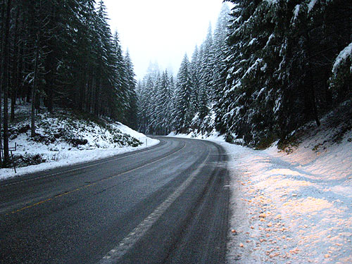
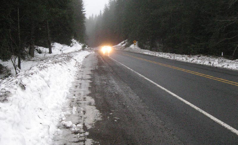
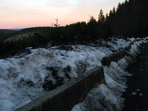
Above: Photos Oregon Coast Beach Connection
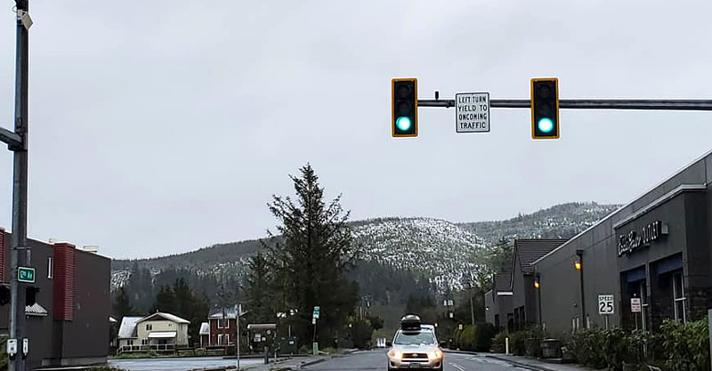
Photo of Seaside courtesy Angi D. Wildt Gallery
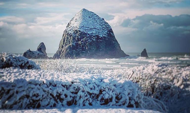
Photo courtesy Haystack Rock Awareness Program
More About Oregon Coast hotels, lodging.....
More About Oregon Coast Restaurants, Dining.....
LATEST Related Oregon Coast Articles
The move would have left the closest helicopter rescue 100 miles away. Safety
Dramatic Oregon Coast Police Chase Includes Flaming Wheel Through Lincoln Cit...
Chase began in Newport and ended in Lincoln City, over 70 mph. History, true crime
Driver Arrested on Oregon Coast After Narrowly Missing Construction Crew, The...
Driving up to 110 mph on Highway 101, endangering crews before that. Safety
Beware Internet Rumors: Yes, N. Oregon Coast's Hug Point is Shut Down and Unsafe
To borrow from Monty Python: It has ceased to be. It is an ex-beach access. Safety, Cannon Beach, Manzanita
Winds, Rain Slam Oregon and Coast: Power Outages, Debris and More Coming
Damage at Astoria, Lincoln City: many power outages, major debris. weather, traffic
Saddle Mountain Rescue Needed USCG Helicopter, Several N. Oregon Coast Agencies
A complex 6.5 hours to rescue a stranded hiker. Safety, Seaside, Cannon Beach, Astoria, Manzanita, Saddle Mountain
Another Set of Rain Storms for Oregon, Washington, Coast - Flood Watches
Atmospheric river again for Washington, Oregon and rain for a week. Weather
More Video Released of Dramatic South Oregon Coast Vessel Rescue
Watch rescuer hoist a crewmember up and onto the beach. Weather
Back to Oregon Coast
Contact Advertise on Oregon Coast Beach Connection
All Content, unless otherwise attributed, copyright Oregon Coast Beach Connection. Unauthorized use or publication is not permitted


