Different Surf Warnings for South Oregon Coast, North Coast, Washington Coast
Published 04/21/22 at 5:20 PM PST
By Oregon Coast Beach Connection staff
Includes exclusive listings; some specials in winter
In Cannon Beach:
Includes rentals not listed anywhere else
In Manzanita, Wheeler, Rockaway Beach:
Some specials for winter
In Pacific City, Oceanside:
Some specials for winter
In Lincoln City:
Some specials for winter
In Depoe Bay, Gleneden Beach:
Some specials for winter
In Newport:
Look for some specials
In Waldport
Some specials for winter
In Yachats, Florence
Some specials for winter
Southern Oregon Coast Hotels / Lodgings
Reedsport to Brookings, places to stay; winter deals
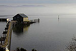
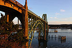
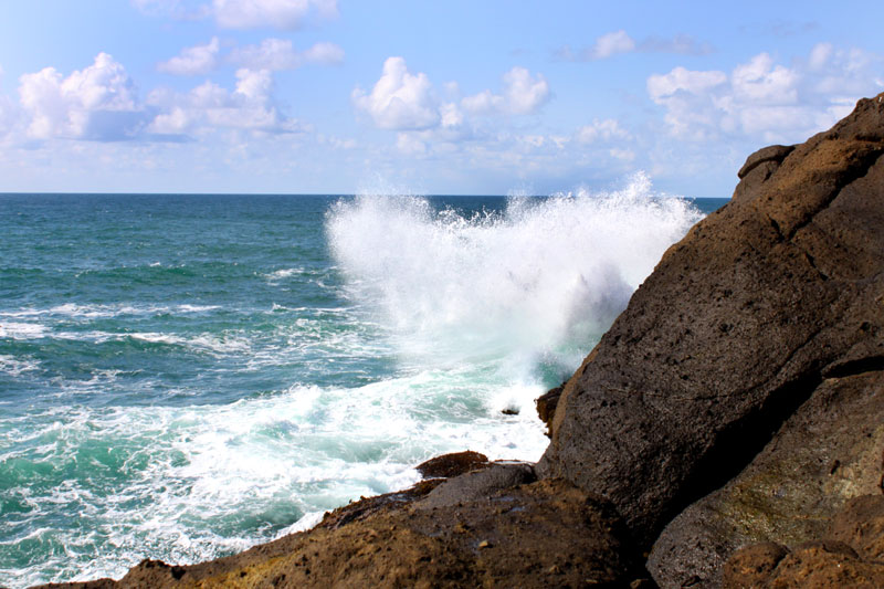
(Portland, Oregon) – Winter's wacky grip on spring is still not over for the Oregon coast and Washington coast, with a variety of surf advisories and sneaker wave warnings coming from the National Weather Service (NWS). The south Oregon coast has a high surf advisory, while a set of dangerous sneaker wave possibilities are coming for the northern half of the Oregon coast and southern third of the Washington coast (which includes Westport down through Long Beach). (Above: Depoe Bay)
For the southern Oregon coast, things are a bit more serious. The NWS has issued a high surf advisory between now and 11 a.m. on Saturday, with large, breaking waves at 22 to 24 feet. This is in effect for all of Coos, Curry and Douglas County beaches, including the cities of Reedsport, Coos Bay, Bandon, Port Orford and all the way down to Brookings.
The NWS said these are likely to cause hazardous conditions on the beaches.
“Beach erosion is possible, and exposed infrastructure may be damaged,” the NWS said.
The NWS issued a brief statement on social media warning of an increased danger for sneaker waves along the bulk of the Oregon coast and southern Washington coast.
“Sneaker wave threat increases today through Saturday morning,” the agency said. “These high energy waves can run up further than other waves and can swiftly move large logs and knock you off your feet. Stay clear of jetties and if you are on the beach, never turn your back to the ocean.”
Shawn Weagle, a meteorologist with the Portland office of the NWS, told Oregon Coast Beach Connection there are two bursts making for dangerous conditions through Sunday night, with a lull on Saturday. This current run of sneaker waves runs out of steam on Saturday, but then another session of dangerous waves hits Washington and the northern half of Oregon on Sunday.
“Saturday it winds down, with the most dangerous period now through Friday,” Weagle said. “There's a longer set of swells coming, because of the low pressure system that came in last night. Low pressure systems bring in longer westerly swells. They're more energetic swells.”
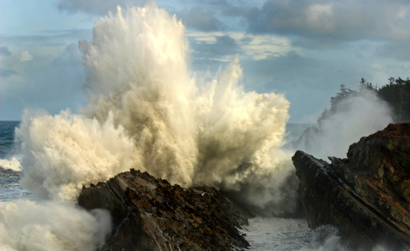
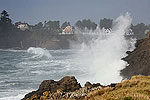
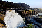
Look for gnarly wave action at Coos Bay's Shore Acres - photo courtesy Steven Michael Smith / Oregon's Adventure Coast
This starts on Sunday afternoon, with 10-foot swells at 16 seconds. It's the second number you have to generally worry about: the timing refers to the period between swells. The longer that period, the more chance they have to build up into one big swell, creating the sneaker waves – which can dart up the beach and catch you unaware.
“That's a mid-range height with a longer period,” Weagle said. “At 8 to 12 feet waves people feel encouraged to get closer. It's not like 20-foot waves or something.”
See Oregon Coast Weather - Washington Coast Weather
This creates a hidden danger in the waves, Weagle said. People think they're looking at somewhat raucous conditions but not too rough, but behind those mid-size waves is more energy than is obvious, and that can spell trouble in terms of sneaker waves.
Weagle said typically the NWS does not send out official warnings or statements about sneaker waves unless it's a holiday or weekend, so this first round of sneaker wave issues on the Oregon and Washington coast doesn't quite warrant that. The second round for Sunday may see an official statement from the NWS. MORE PHOTOS BELOW
Oregon Coast Hotels for this event - South Coast Hotels - Where to eat - Maps - Virtual Tours
Cannon Beach Lodging
Nehalem Bay Lodgings
Manzanita Hotels, Lodging
Three Capes Lodging
Pacific City Hotels, Lodging
Lincoln City Lodging
Depoe Bay Lodging
Newport Lodging
Waldport Lodging
Yachats Lodging
Oregon Coast Vacation Rentals
Oregon Coast Lodging Specials
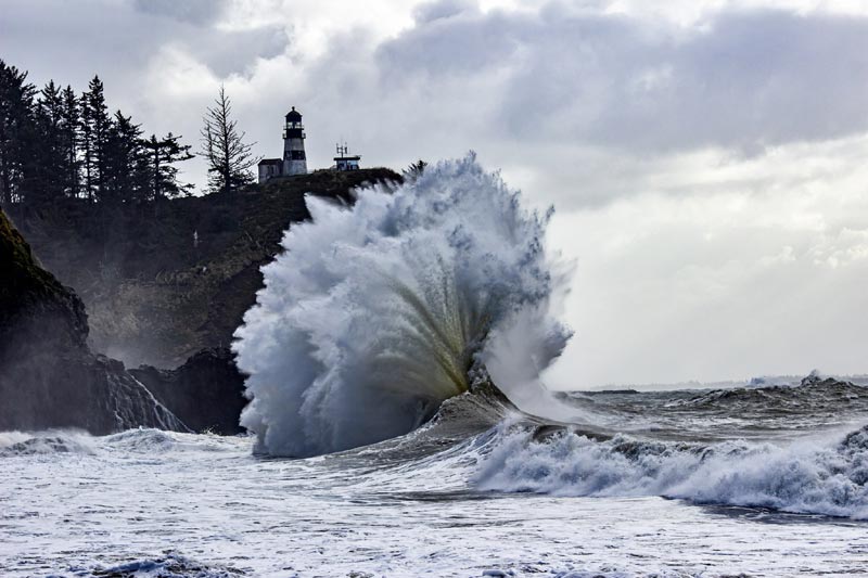
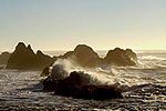
Cape Disappointment, Washington, courtesy Kris Hurrle
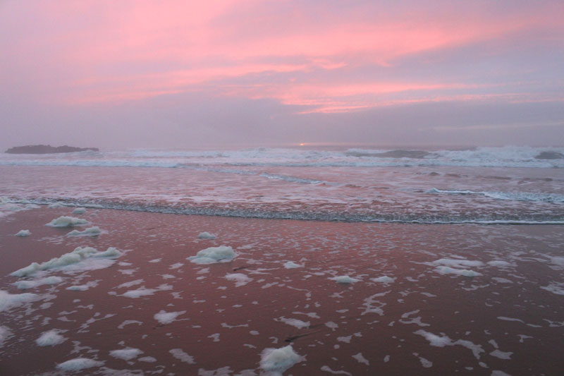
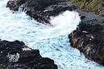
Lincoln City
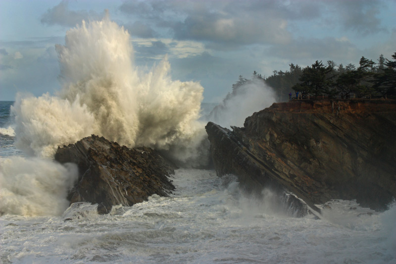
Courtesy Oregon's Adventure Coast
More About Oregon Coast hotels, lodging.....
More About Oregon Coast Restaurants, Dining.....
LATEST Related Oregon Coast Articles
Some camping loops and beach accesses closed until spring. Hotel news
A 1940s Motor Lodge on the Oregon Coast With Thoroughly Modern Vibes
Nostalgia of the Oregon coast in the '60s and '70s. Newport hotel reviews. Agate Beach Motel
Oceanfront Kitchettes in Seaside, Near Gearhart, Near Cannon Beach
Large rooms right up against the surf and Promenade. Watch for whales as you prepare a meal. Seaside reviews, hotel reviews, specials
Portland Event a Fundraiser to Bring Sea Otter Back to Oregon Coast
The Oregon Otter Beer Festival at OMSI takes place April 11 to support restoration efforts. Portland events, Pacific City events, Lincoln City events, Depoe Bay events, Newport events, Manzanita events, Cannon Beach events. marine sciences
Seaside Event Brings Sea Rescue History of Oregon / Washington Coast To Life
January 29 at 6 p.m. at Seaside Brewing: the precursor to the US Coast Guard. Seaside events
Oregon's Tillamook Coast Funds Major Upgrades, Facilities, Including Lighthou...
Water tower for train ride, hiking trails, restrooms, more. Oceanside, Garibaldi, Rockaway Beach, Pacific City, Nehalem, Manzanita
Sneaker Wave Alerts From S. Oregon Coast to Central Washington Coast - 16-ft ...
High tides will worsen it Friday; even higher waves are possible. Weather
Like One Gigantic South Oregon Coast Lodging Special for Coos Bay, North Bend...
Winter's Local Vacation Loot brings you freebies at dining, adventures. Hotel specials. Coos Bay events
Back to Oregon Coast
Contact Advertise on BeachConnection.net
All Content, unless otherwise attributed, copyright BeachConnection.net Unauthorized use or publication is not permitted


