N. Oregon Coast's Nehalem Adds New Interpretive, Emergency Signs
Published 10/05/20 at 6:54 PM PDT
By Oregon Coast Beach Connection staff
Includes exclusive listings; some specials in winter
In Cannon Beach:
Includes rentals not listed anywhere else
In Manzanita, Wheeler, Rockaway Beach:
Some specials for winter
In Pacific City, Oceanside:
Some specials for winter
In Lincoln City:
Some specials for winter
In Depoe Bay, Gleneden Beach:
Some specials for winter
In Newport:
Look for some specials
In Waldport
Some specials for winter
In Yachats, Florence
Some specials for winter
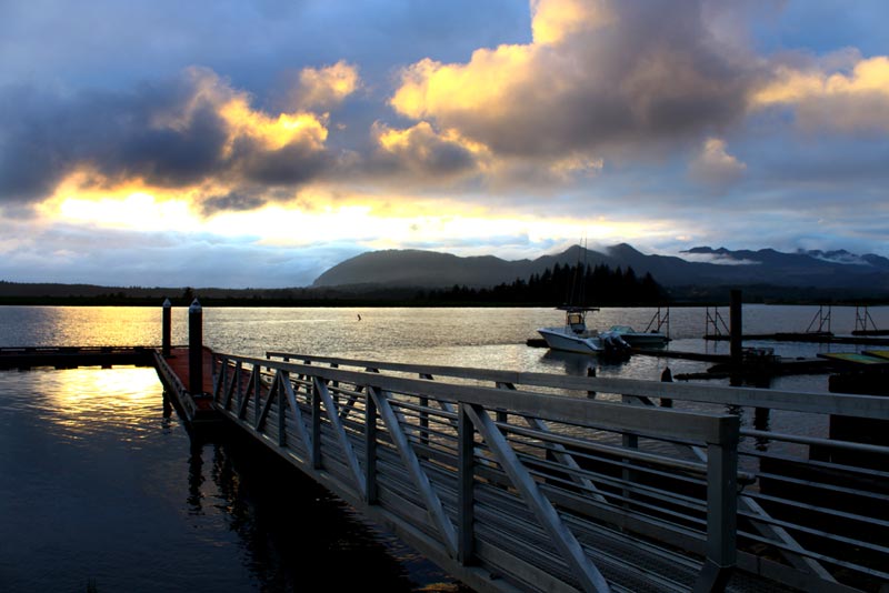
(Nehalem, Oregon) – The sights around the Nehalem Bay village of Nehalem are getting a little easier to find and understand, thanks to new funding in this area of the north Oregon coast. A host of new signage is springing up, which also includes some emergency messages that can be broadcast if needed.
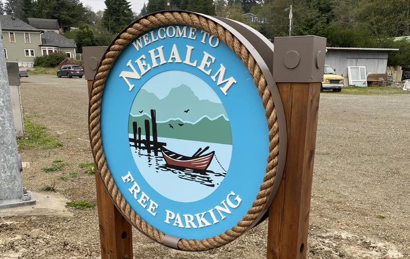
All over the town you’ll find newly installed interpretive boards, directionals, parking and gateway signs, all part of a county-wide master wayfinding plan developed in 2016 by Tillamook Coast Visitors Association (TCVA). The city of Nehalem’s plan was approved in 2019 and funded from the portion of county transient lodging tax managed by TCVA.
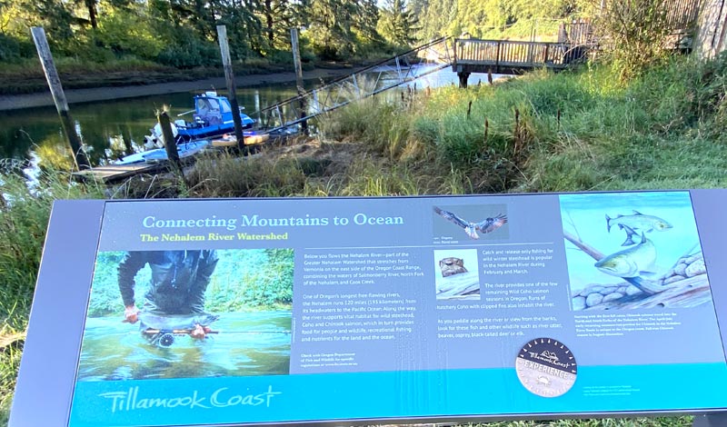
In downtown Nehalem are two interpretive signs, one about the Nehalem watershed and the other about living along a river. There is also a sign with a city map on one side, and a welcome to Nehalem greeting for visitors approaching from the river. A new city park sign includes the history of Native Peoples, and a parking sign at the corner of 7th and Highway 101 will have a tsunami route map on one side. Restroom signs have been added, and the Highway 101 southbound welcome sign has been remounted. As more wayfinding funding becomes available, the city plans additional signage.
At NCRD, there is a new facility entrance sign, directions to the performing arts center, and an interpretive board that tells of the commitment of the town to teach each child to swim.
Over the last 16 months, along the south Tillamook County area, other organizations have worked together with Tillamook County government officials to develop the tsunami wayfinding signage, with plans to extend the messaging from Neskowin to Winema.
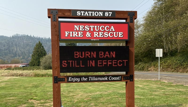
The Nestucca Rural Fire Protection District (NRFPD) was approved for a sign that will provide emergency and community messages along Highway 101 near Cloverdale. The LED sign will let motorists know of emergencies such as road closures, landslides, flooding, fires and burning restrictions, but also local meetings, volunteer needs and events.

The reader boards are similar to the sign installed at Nehalem Bay Fire and Rescue.
Nan Devlin, director of Visit Tillamook Coast, said the wayfinding program is a top priority of the organization, and there are several community plans completed. Each plan takes a minimum of 18 months to get to the request-for-proposal stage.
“We involve community members along each step of development, getting their input and feedback on what’s important to them,” she said.
For more information on the county-wide and area wayfinding plans, go to tillamookcoast.com/wayfinding.
Hotels in Manzanita, Wheeler - Where to eat - Manzanita, Wheeler Maps and Virtual Tours
Cannon Beach Lodging
Nehalem Bay Lodgings
Manzanita Hotels, Lodging
Three Capes Lodging
Pacific City Hotels, Lodging
Lincoln City Lodging
Depoe Bay Lodging
Newport Lodging
Waldport Lodging
Yachats Lodging
Oregon Coast Vacation Rentals
Oregon Coast Lodging Specials
More About Oregon Coast hotels, lodging.....
More About Oregon Coast Restaurants, Dining.....
LATEST Related Oregon Coast Articles
A new roadway arose with more sunken asphalt. Traffic
Waves 17 to 26 Ft Along Oregon Coast: Surf Advisories, Sneaker Waves
A good show from Washington southward but some deadly possibilities. Weather
Two Videos Show Different Angles on Near-Deadly Oregon Coast Wave
The incident from 2021 just surfaced, showing a wave knocking people around Cape Kiwanda. Weather. Safety
Oregon Coast Town Looks at Possibility of Life Out There with Yachats Event
Jan 11 at the Yachats Commons examines the moon Europa. Yachats events
Oregon Coast and Washington Coast Beach Safety - the Complete Guide, Alerts, ...
Advice and guidelines for Washington and Oregon: what to look out for
Comet 31/Atlas Caught By Portland, Oregon Man On Its Way Out
Snapped by a Portlander as it zips out of the solar system. Astronomy, sciences
Newport Police Investigate Two Stabbings and a Shooting Near Oregon Coast's H...
A man was shot as he was allegedly stabbing his second victim
Flood Advisories, Warnings, Watches All Over Washington / Oregon Coast
Advisories, watches and warnings in various areas except the central Oregon coast. Weather, traffic
Back to Oregon Coast
Contact Advertise on BeachConnection.net
All Content, unless otherwise attributed, copyright BeachConnection.net Unauthorized use or publication is not permitted


