Early Storm for Oregon, Washington Coasts, Portland and Valley, Gusts Up to 30
Published 09/16/2019 at 5:53 PM PDT - Updated 09/16/2019 at 6:53 PM PDT
By Oregon Coast Beach Connection staff
Includes exclusive listings; some specials in winter
In Cannon Beach:
Includes rentals not listed anywhere else
In Manzanita, Wheeler, Rockaway Beach:
Some specials for winter
In Pacific City, Oceanside:
Some specials for winter
In Lincoln City:
Some specials for winter
In Depoe Bay, Gleneden Beach:
Some specials for winter
In Newport:
Look for some specials
In Waldport
Some specials for winter
In Yachats, Florence
Some specials for winter
(Oregon Coast) – UPDATED: Storm impact will be less. Sunday saw some significant rain around northwest Oregon, including a bit of a storm on the Oregon coast that may have had something to do with a power outage in parts of Lincoln County. More is on the way, according to the National Weather Service (NWS) in Portland, with a special weather statement for southern Washington, the coastline, and parts of the Cascades down to Lane County.
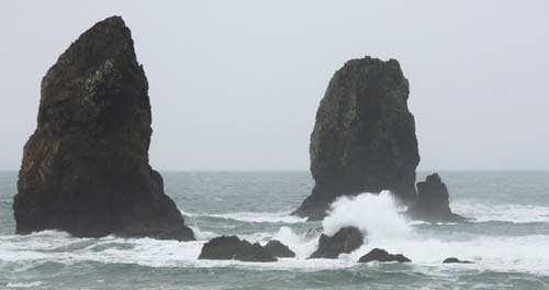
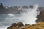
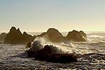
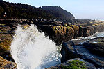
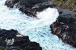
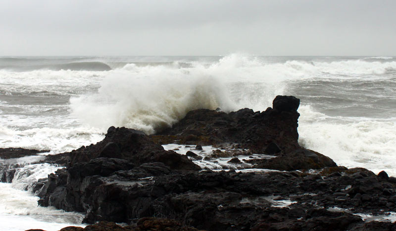
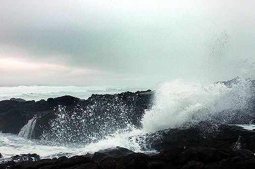
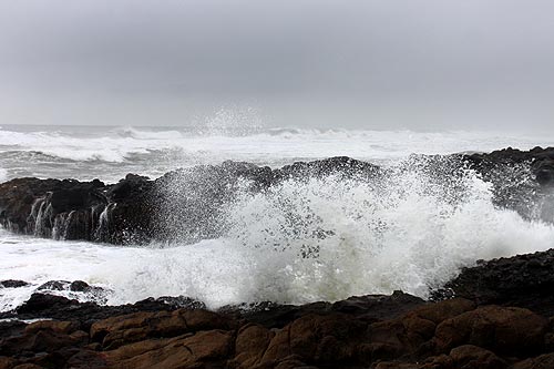
Look for more rain and gusty winds late Monday through Tuesday, an early season storm for the Washington coast and Oregon coast that will bring gusts up to 30 mph and likely include some thunderstorms. Parts of the offshore waters of the Oregon and Washington coast are under a gale warning through Tuesday, and some medium-large waves could be expected on the beaches.
“Significant rainfall affected southwest Washington and northwest Oregon Sunday, as the first in a series of early season moved across the region,” the NWS said. “Most locations received one-half to three-quarters of an inch of rain, while coastal and higher terrain locations locally received an inch or more.”
The NWS said some heavy showers and isolated thunderstorms will hit various areas around southwest Washington and northwest Oregon on Monday. Another frontal system will be quick on its heels, hitting southern Washington by Tuesday overnight and bringing yet another round of heavy rains and winds to areas around the Oregon coast, Vancouver, Portland and other inland towns.
The coastlines for Washington and Oregon will see gusts up to 30 mph. Even the southern Oregon coast, down beyond Coos Bay and Reedsport will see thunderstorms but winds won’t be as strong.
Others will see some action as well.
“Inland areas, including the Willamette Valley, may experience gusts as high as 35 mph Tuesday,” the NWS said. “Those planning to spend time in the Cascades should be prepared for an extended period of autumn-like weather that will last through at least Wednesday. Snow levels are expected to lower to 6000 to 7000 feet with the passage of the cold front Tuesday and Tuesday night. Even if it is not cold enough to snow, those in the Cascades should be prepared for more cold, raw, wet weather through at least Wednesday.”
So far, the Oregon coast’s “second summer” has not materialized, but with only periodic second summer weather. That pattern will continue, with Thursday showing promise of pleasant, summer-like weather, then more partly cloudy to decent conditions on and off through early next week. The southern Oregon coast will be warmer and sunnier over the weekend than up north. See more Oregon Coast Weather
Oregon Coast Hotels for this event - Where to eat - Map - Virtual Tour
Cannon Beach Lodging
Nehalem Bay Lodgings
Manzanita Hotels, Lodging
Three Capes Lodging
Pacific City Hotels, Lodging
Lincoln City Lodging
Depoe Bay Lodging
Newport Lodging
Waldport Lodging
Yachats Lodging
Oregon Coast Vacation Rentals
Oregon Coast Lodging Specials
More About Oregon Coast hotels, lodging.....
More About Oregon Coast Restaurants, Dining.....
LATEST Related Oregon Coast Articles
From Portland and Vancouver to eastern Oregon, Cascades and as far south as Madras and Albany. Weather
Washington / Oregon Travel: Gas Prices Jump More Than Usual As War Heightens
Sharper rise because of crude oil and other factors. Traffic, travel tips
Virtual Oregon Coast Field Trip: How to Chomp on Yum-Yums from Netarts Bay
Producers of the Bay series on Wednesday, March 18, from 6:30 to 7:30 p.m. Oceanside events, Pacific City events, Lincoln City events, Garibaldi events, Tillamook events
A Staple for Oregon Coast Spring Break, Festival of Illusions Hits Lincoln Ci...
2026 Festival of Illusions, March 22-27. Pacific City events, Lincoln City events, Depoe Bay events, Newport events
Dusting of Snow for Much of NW Oregon Tonight a March Curiosity
Snow levels down to 500 ft tonight, with the Coast Range and Cascades seeing heavier impacts. Weather
Controversial Lodging Tax Passed by Oregon Lawmakers
While the measure helps wildlife and ranchers, it will increase hotel rates statewide. Hotel news, Astoria hotel news, Seaside hotel news, Cannon Beach hotel news, Manzanita hotel news, Rockaway Beach hotel news, Garibaldi hotel news, Pacific City hotel news, Lincoln City hotel news, Depoe Bay hotel news, Newport hotel news, Yachats hotel news, Bandon hotel news, Coos Bay hotel news, Brookings hotel news, Florence hotel news
Velella Velella Hit the Oregon Coast and Washington - But Something is Different
Many of the creatures are smaller than usual, indicating unusual conditions offshore. Marine sciences
Oregon State Police Fish and Wildlife Seek Help Finding Bull Elk Poachers
Cash awards are offered for information leading to arrests in this Prineville-area case. Sciences, eastern Oregon
Back to Oregon Coast
Contact Advertise on BeachConnection.net
All Content, unless otherwise attributed, copyright BeachConnection.net Unauthorized use or publication is not permitted


