'Drastic Shift' in Weather for Oregon Coast / Washington Coast, Hints of Storm Waves
Published 10/18/22 at 5:58 PM
By Oregon Coast Beach Connection staff
Includes exclusive listings; some specials in winter
In Cannon Beach:
Includes rentals not listed anywhere else
In Manzanita, Wheeler, Rockaway Beach:
Some specials for winter
In Pacific City, Oceanside:
Some specials for winter
In Lincoln City:
Some specials for winter
In Depoe Bay, Gleneden Beach:
Some specials for winter
In Newport:
Look for some specials
In Waldport
Some specials for winter
In Yachats, Florence
Some specials for winter
Southern Oregon Coast Hotels / Lodgings
Reedsport to Brookings, places to stay; winter deals
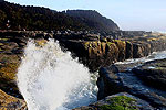
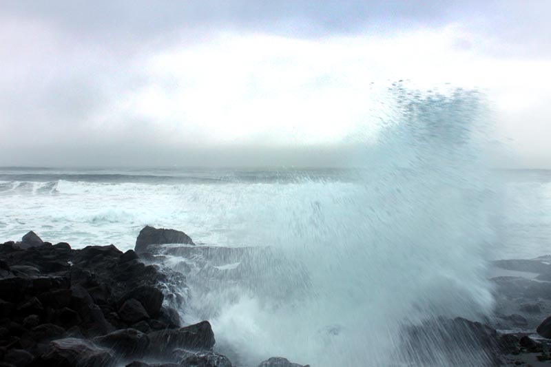
(Astoria, Oregon) – A “drastic pattern shift” is in store for the Oregon coast and Washington coast this weekend, as the long-awaited end to these unusually summer-like days comes in like a bit of a lion. The Medford, Portland and Seattle offices of the National Weather Service (NWS) are showing a good amount of rain for the Pacific Northwest coastline coming in over the weekend – as well as a decent chance of slightly stormy wave action. (Above: Yachats' big waves, copyright Oregon Coast Beach Connection)
All offices have issued some kind of special weather statement or another, essentially saying: “cool and wet fall-like weather arrives later this weekend.”
“The rainy season likely begins in earnest Friday or Saturday as the first in a series of Pacific frontal systems moves across the Pacific Northwest,” the NWS in Portland said. “This will bring an end to the extended unseasonably dry and hot weather.”
Wednesday is being touted as the last summer-like day for most of Oregon and Washington, including the ocean shorelines. Thursday turns cloudier from the southern Oregon coast up through the Washington coast's northern edges.
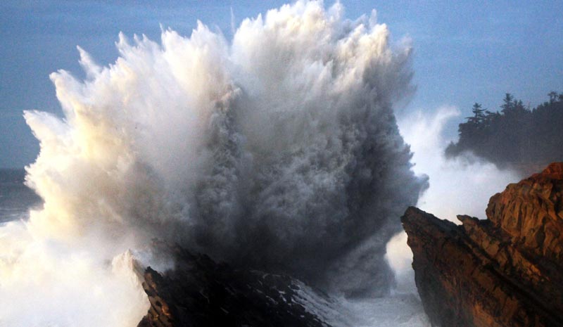
Shore Acres near Coos Bay, photo courtesy Oregon's Adventure Coast
Pavement will become especially slippery after such a long period without rain.
“Since this will be the first rainfall in a while, we want to take this moment to remind you to slow down, use caution, leave more space between you and the vehicle ahead of you, and give yourself plenty of time to reach your destination,” the NWS in Medford said.
See Oregon Coast Weather - Washington Coast Weather
Air quality is still an issue in much of the I-5 corridor, however, because of wildfires. One small section of the south Oregon coast is still under an air quality alert until Friday afternoon, with the Oakridge fire continuing to affect an area around Reedsport.
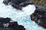
Offshore winds and seas are expected to rise considerably along both the Washington coast and Oregon coast over the weekend, with wave height as high as 15 feet later in the weekend. This could well mean some nice wave-watching action along rocky areas such as Depoe Bay or Yachats. Shore Acres near Coos Bay and other shallow reefs such as Cape Disappointment in Washington may be putting a bit of a show, although not actual storm-sized waves.
“The strongest winds and heaviest seas will occur south of Cape Blanco,” the NWS in Medford said of the offshore forecast. “Moderate northwest swell will likely develop Friday night into Saturday, slowly subsiding Saturday night into Sunday.”
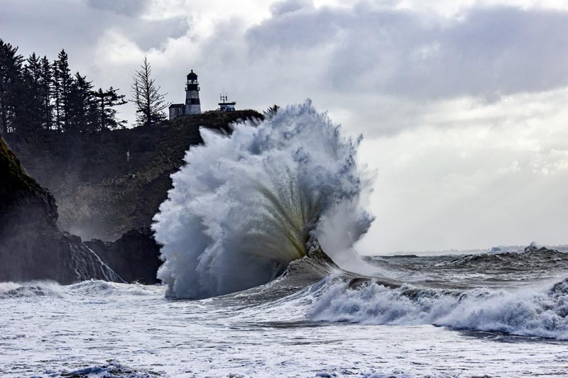
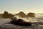
Cape Disappointment, Washington - courtesy Kris Hurrle / King Tides Project
Seas have been running a mellow 5 feet or less in recent days, the NWS in Portland said, but look for them to start inching up to 7 to 9 feet on Wednesday.
“Seas exceed 10 ft Wednesday evening as a distant northwest swell train reaches the waters. Seas hover around 10 ft Thursday through Friday, but build to around 15 ft Saturday,” the NWS said.
Snow in the Cascades could be a reality as well, although not a major dusting.
Oregon Coast Hotels for this event - South Coast Hotels - Where to eat - Maps - Virtual Tours
Cannon Beach Lodging
Nehalem Bay Lodgings
Manzanita Hotels, Lodging
Three Capes Lodging
Pacific City Hotels, Lodging
Lincoln City Lodging
Depoe Bay Lodging
Newport Lodging
Waldport Lodging
Yachats Lodging
Oregon Coast Vacation Rentals
Oregon Coast Lodging Specials
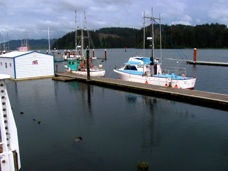
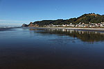
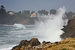
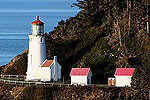
Above: Wheeler (top), Florence (bottom) - Oregon Coast Beach Connection
More About Oregon Coast hotels, lodging.....
More About Oregon Coast Restaurants, Dining.....
LATEST Related Oregon Coast Articles
Live weather conditions, cams, tides and forecasts for Gearhart, Oregon
Last Night's Aurora Shots from Oregon Coast
A strong storm seen from Newport, Bandon, Port Angeles, Florence, Pacific City, Cannon Beach and more. Astronomy. Sciences
Numerous Traffic Accidents Near or on Oregon Coast in February, Some Fatal
Incidents around Bandon, Coast Range, Lincoln City, some criminal
Two Vehicle Arrests on S. Oregon Coast This Weekend: High-Speed Chase, DUI Cr...
As a deputy was in the middle of one traffic stop a crash occurred near him; high-speed chase on motorcycle. Safety, true crime, Coos Bay, Bandon
22 State Parks Soon Charging Fees, Many on Oregon Coast
These had not charged parking fees before. Weather
S. Oregon Coast's Paradise Point Back Open After Salvage Effort of Grounded Ship
State park at Port Orford was closed for more than a week
Seaside Event Brings Sea Rescue History of Oregon / Washington Coast To Life
January 29 at 6 p.m. at Seaside Brewing: the precursor to the US Coast Guard. Seaside events
China Creek Access (#155) at Bandon: Between South Oregon Coast Wonders
A sandy expanse between Face Rock and Cape Blanco. Travel tips
Back to Oregon Coast
Contact Advertise on Oregon Coast Beach Connection
All Content, unless otherwise attributed, copyright Oregon Coast Beach Connection. Unauthorized use or publication is not permitted


