Massive Waves for Oregon Coast, S. Washington: Advisories Through Jan. 2
Published 12/31/2019 at 5:55 AM PDT
By Oregon Coast Beach Connection staff
Includes exclusive listings; some specials in winter
In Cannon Beach:
Includes rentals not listed anywhere else
In Manzanita, Wheeler, Rockaway Beach:
Some specials for winter
In Pacific City, Oceanside:
Some specials for winter
In Lincoln City:
Some specials for winter
In Depoe Bay, Gleneden Beach:
Some specials for winter
In Newport:
Look for some specials
In Waldport
Some specials for winter
In Yachats, Florence
Some specials for winter
(Oregon Coast) – A variety of surf advisories have been issued for the Oregon coast and southern Washington coast, spelling dangerous conditions on beaches through New Year’s Day and beyond.
The National Weather Service (NWS) offices in Seattle, Portland and Medford have issued the warnings for southern Washington and all of Oregon beaches, with a high surf advisory in effect from Tuesday through late evening on New Year’s Day. The southern Oregon coast, however, has the advisory in effect through the early hours of January 2.
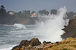
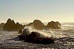
Some places – especially the southern coast – could see peak breakers of 23 feet or more on Wednesday.
On the Washington coast, the advisory is in place from Ocean City southward, including Westport, Ocean Park and Long Beach. The entire Oregon coast is under the advisory, with the south coast advisory lasting longer.
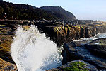
The NWS said destructive waves will wash over beaches, jetties and other structures unexpectedly. Stay far from jetties and rocky areas (like those at Depoe Bay and Yachats) as you can be swept into the ocean. Expect erosion of beaches and cliffs to take place.
The ramp at Cape Kiwanda / Pacific City was already eaten away by wave runup earlier in December and has not yet been fully repaired.
The NWS had other warnings.
“Stay well back from the water’s edge and be alert for exceptionally high waves,” the NWS said. “Keep away from large logs on the beach. Water running up on the beach can easily lift or roll logs which can injure or kill someone caught in their path. Remain out of the water to avoid hazardous swimming conditions.”
Offshore, wave height will be dropping a bit then scaling back upwards.
“Seas might subside slightly this evening and fall toward 10 to 12 ft, but by Tuesday afternoon expect seas to 13 to 17 ft and continuing that building trend towards 20 feet or higher by Tuesday night,” the NWS said.
On Wednesday, long period swells kick in – meaning the timing between swells. The NWS said the period swell starts off longer than 25 seconds, which can bring very high sneaker waves and dangerous conditions. This slowly shortens only slightly to about 20 seconds for awhile on Wednesday, leading to the sneaker wave advisories.
Offshore wave height remains somewhat high for Thursday and Friday at around 15 feet, which should still spell great wave drama along the Washington and Oregon coasts.
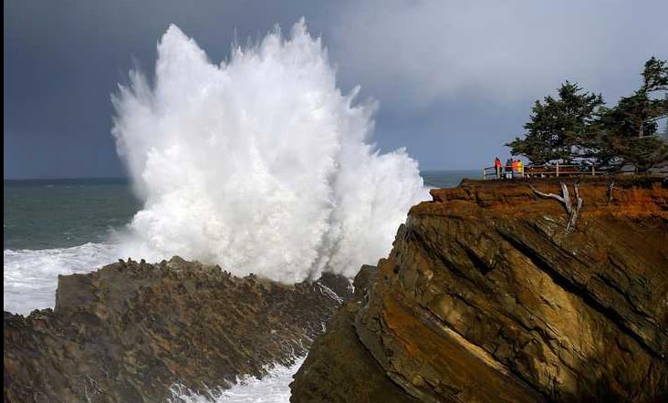
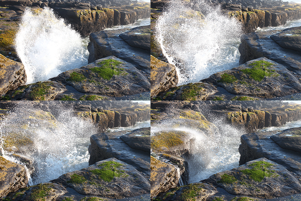
Storm Watch Suggestions: On the southern coast, head to high vantage points with rocky areas below, such as the Boardman Scenic Corridor. Shore Acres State Park, of course, is the big standby for massive wave action. On the northern half, places like Yachats and Depoe Bay (with its spouting horn) will be magnificent – but stay back from the surf. Other areas like Pacific City, Oceanside and Silver Point just south of Cannon Beach will be showing off as well. See Best Lodgings for Storm Watching on Oregon Coast
On the Washington coast, Ilwaco’s Cape Disappointment should produce spectacular results as well. (More storm photos below)
See Washington Coast Weather - Oregon Coast Weather
- Oregon Coast Hotels for this event - Where to eat - Map - Virtual Tour
Cannon Beach Lodging
Nehalem Bay Lodgings
Manzanita Hotels, Lodging
Three Capes Lodging
Pacific City Hotels, Lodging
Lincoln City Lodging
Depoe Bay Lodging
Newport Lodging
Waldport Lodging
Yachats Lodging
Oregon Coast Vacation Rentals
Oregon Coast Lodging Specials
More About Oregon Coast hotels, lodging.....
More About Oregon Coast Restaurants, Dining.....
LATEST Related Oregon Coast Articles
From Portland and Vancouver to eastern Oregon, Cascades and as far south as Madras and Albany. Weather
Washington / Oregon Travel: Gas Prices Jump More Than Usual As War Heightens
Sharper rise because of crude oil and other factors. Traffic, travel tips
Virtual Oregon Coast Field Trip: How to Chomp on Yum-Yums from Netarts Bay
Producers of the Bay series on Wednesday, March 18, from 6:30 to 7:30 p.m. Oceanside events, Pacific City events, Lincoln City events, Garibaldi events, Tillamook events
A Staple for Oregon Coast Spring Break, Festival of Illusions Hits Lincoln Ci...
2026 Festival of Illusions, March 22-27. Pacific City events, Lincoln City events, Depoe Bay events, Newport events
Dusting of Snow for Much of NW Oregon Tonight a March Curiosity
Snow levels down to 500 ft tonight, with the Coast Range and Cascades seeing heavier impacts. Weather
Controversial Lodging Tax Passed by Oregon Lawmakers
While the measure helps wildlife and ranchers, it will increase hotel rates statewide. Hotel news, Astoria hotel news, Seaside hotel news, Cannon Beach hotel news, Manzanita hotel news, Rockaway Beach hotel news, Garibaldi hotel news, Pacific City hotel news, Lincoln City hotel news, Depoe Bay hotel news, Newport hotel news, Yachats hotel news, Bandon hotel news, Coos Bay hotel news, Brookings hotel news, Florence hotel news
Velella Velella Hit the Oregon Coast and Washington - But Something is Different
Many of the creatures are smaller than usual, indicating unusual conditions offshore. Marine sciences
Oregon State Police Fish and Wildlife Seek Help Finding Bull Elk Poachers
Cash awards are offered for information leading to arrests in this Prineville-area case. Sciences, eastern Oregon
Back to Oregon Coast
Contact Advertise on BeachConnection.net
All Content, unless otherwise attributed, copyright BeachConnection.net Unauthorized use or publication is not permitted


