Most of Washington Coast, Oregon Coast Head Into the 80s, Sunny
Published 10/04/23 at 12:47 a.m.
By Oregon Coast Beach Connection staff
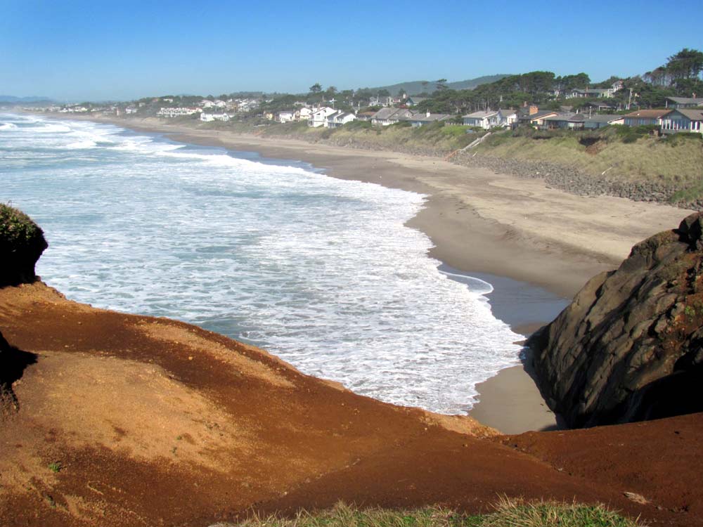
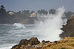
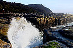
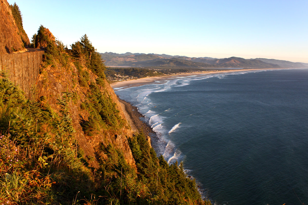
(Brookings, Oregon) – If you wished for a little more summer recently in the Pacific Northwest, then your wish has been granted. (Above: Fishing Rock near Depoe Bay / Oregon Coast Beach Connection)
What may be the last gasp of summery weather comes to Portland, Vancouver, Ashland and Seattle with plenty of upper 70s to low 80s, and even the Washington coast and Oregon coast will see temps as high as the low 80s. Thursday through Saturday brings much of the stellar weather to the region, with completely sunny skies for almost all of Washington and Oregon.
Includes exclusive listings; some specials in winter
In Cannon Beach:
Includes rentals not listed anywhere else
In Manzanita, Wheeler, Rockaway Beach:
Some specials for winter
In Pacific City, Oceanside:
Some specials for winter
In Lincoln City:
Some specials for winter
In Depoe Bay, Gleneden Beach:
Some specials for winter
In Newport:
Look for some specials
In Waldport
Some specials for winter
In Yachats, Florence
Some specials for winter
Southern Oregon Coast Hotels / Lodgings
Reedsport to Brookings, places to stay; winter deals
Saturday is the turning point for most regions.
The southern Oregon coast at around Brookings and Gold Beach will live up to its Chetco Effect and end up in the low 80s or just under from Thursday through Saturday, according to the National Weather Service (NWS).
The Port Orford area and northward wind up a little cooler with high temps more in the low 70s before drizzle kicks in on Saturday.
The bulk of the central Oregon coast through south Washington coast get some small amounts of rain on Wednesday, then clearing off Thursday morning to highs in the 70s. A few areas may reach close to 80 degrees or just about, especially slightly inland areas like Tillamook or Astoria. Friday is predicted to be in the upper 70s and sunny for that vast region of coastline, while Saturday gets some clouds and temps in the mid 70s for places like Yachats, Pacific City, Seaside or Long Beach.
At night on Saturday, conditions turn into some amounts of rain, which continues on Sunday.
Most inland areas stay fairly dry throughout Sunday but rain returns Monday, just in time for the work week.
Beyond Westport, the central and north Washington coast remain sizably cooler from Thursday through Saturday, with highs only reaching the low 70s.
See Washington Coast Weather - Oregon Coast Weather
The NWS said all this starts with a little rain over much of the region on Wednesday.
“Temperatures will be slow to warm again with highs near normal, with 60s along the coast and upper 60s to lower 70s inland,” the NWS said. “Clearing skies again expected Wednesday night, with another round of fog in the valleys. The upper ridge of high pressure builds stronger over the area on Thursday as offshore flow begins to develop. Will likely see drier conditions with breezy north to northeast winds by Thursday afternoon. Temperatures are expected to warm into the upper 60s to mid 70s along the coast, and upper 70s to lower 80s inland, bringing a rather mild October day for Thursday.”
Then things really warm up, with Thursday or Friday a day of some degree of heat, what the NWS called “a multi-day stretch of above average temperatures to much of southwest Washington and northwest Oregon Thursday through Saturday.”
While many of their official predictions call for upper 70s in most places on the coast and inland, it could well be higher.
“There is a 75% chance that temperatures will climb to at least 80F Friday and Saturday for most locations,” the NWS said.
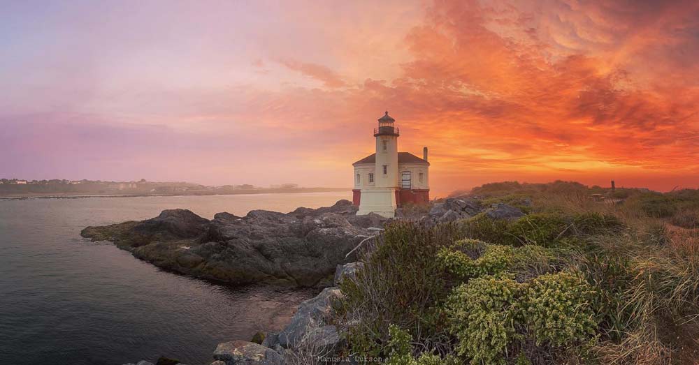
Bandon, courtesy Manuela Durson Fine Arts
There are as yet no predictions for weather on the day of the annular eclipse, October 14. The Great, Big Solar Eclipse Coming to Oregon Coast First: Events, Hotels, Travel Advice, Science
Oregon Coast Hotels for this event - South Coast Hotels - Where to eat - Maps - Virtual Tours
Cannon Beach Lodging
Nehalem Bay Lodgings
Manzanita Hotels, Lodging
Three Capes Lodging
Pacific City Hotels, Lodging
Lincoln City Lodging
Depoe Bay Lodging
Newport Lodging
Waldport Lodging
Yachats Lodging
Oregon Coast Vacation Rentals
Oregon Coast Lodging Specials
More About Oregon Coast hotels, lodging.....
More About Oregon Coast Restaurants, Dining.....
 Andre' GW Hagestedt is editor, owner and primary photographer / videographer of Oregon Coast Beach Connection, an online publication that sees over 1 million pageviews per month. He is also author of several books about the coast.
LATEST Related Oregon Coast Articles
Crews took down the last remnant of the toll booths after becoming unstable
March 30 is 132nd-Year Celebration at Oregon Coast's Beloved Heceta Head Ligh...
Food, live music and history, but no trip to the top. Florence events, Yachats events
Capping Either End of Cannon Beach: Two Different Charmers of the N. Oregon C...
Like a pair of bookends, two of its more engaging places to stay cap either end. Cannon Beach hotel reviews, Schooner's Cove Inn, the Wayside Inn, Seaside hotel reviews
Numerous Traffic Accidents Near or on Oregon Coast in February, Some Fatal
Incidents around Bandon, Coast Range, Lincoln City, some criminal
Deadliest Shipwreck in Oregon Coast History: Nehalem Event Talks About the Le...
Sat. March 14 at the NCRD. Manzanita events, Nehalem events, Cannon Beach events
Oregon Coast's Fishing Industry Reaches Record Economic Impact
After tumultuous pandemic years it bounced back and soared.
The South Oregon Coast Clambake That's Not About Clams is Back: North Bend, M...
Four days of jazz, swing, doo-wop, blues, big band and 1950s rock. South coast events, Coos Bay events
Florence Creates Giveaway of Two Nights at Central Oregon Coast, Gourmet Food...
Lakeside getaway, free food and more through Florence's contest. Florence events
Back to Oregon Coast
Contact Advertise on Oregon Coast Beach Connection
All Content, unless otherwise attributed, copyright Oregon Coast Beach Connection. Unauthorized use or publication is not permitted


