Sneaker Waves for Oregon Coast; Snow in Passes, Portland, Eugene
Published 11/22/2019 at 1:25 PM PDT
By Oregon Coast Beach Connection staff
Includes exclusive listings; some specials in winter
In Cannon Beach:
Includes rentals not listed anywhere else
In Manzanita, Wheeler, Rockaway Beach:
Some specials for winter
In Pacific City, Oceanside:
Some specials for winter
In Lincoln City:
Some specials for winter
In Depoe Bay, Gleneden Beach:
Some specials for winter
In Newport:
Look for some specials
In Waldport
Some specials for winter
In Yachats, Florence
Some specials for winter
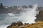
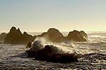
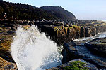
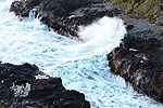
(Oregon Coast) – Snow in the valley, in the coast range, and sneaker waves for the Oregon coast: it’s going to be an active holiday week around the state, according to the National Weather Service (NWS). This weekend will be getting some kind of sneaker wave warning or another, while later in the week will see snow levels dropping, just in time for the holiday. (Beach photo courtesy Seaside Aquarium).
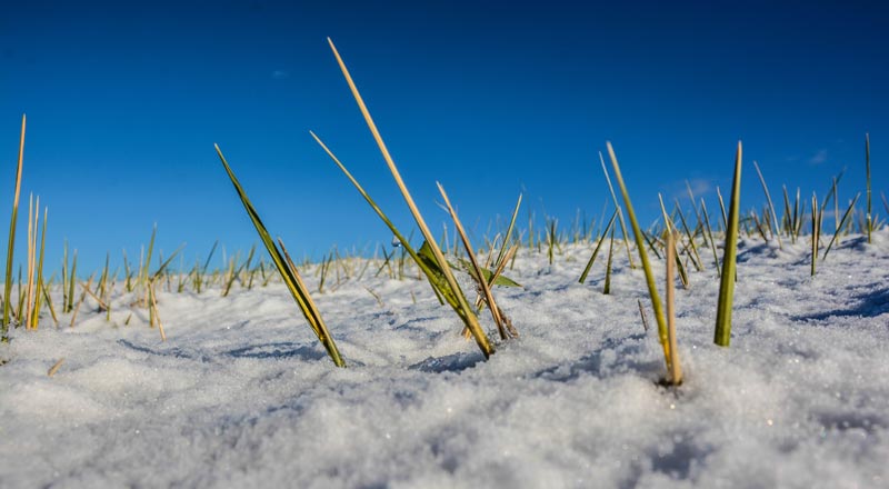
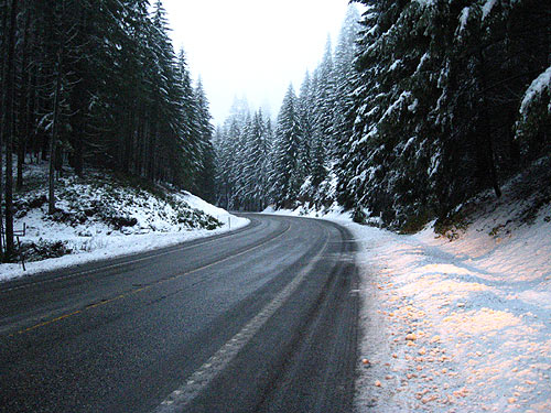
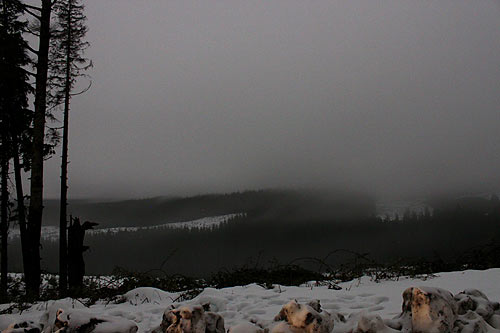
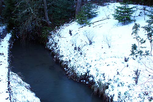
The NWS said there’s even an outside – but very distant – possibility of some flakes on the beaches over the holiday weekend. In any case, passes over the Oregon Coast Range will be getting some snow starting about Thanksgiving, and this may create driving issues coming back from the beaches. Portland, southern Washington, down through Eugene and southern Oregon will be seeing some snow as well, although it will likely be limited to higher elevations.
It all starts this weekend with a helping of sneaker waves.
“Watch out for sneaker waves hitting the beaches through this weekend, and stay off the jetties and the logs,” the NWS said. “Logs on the beach are wet and extremely heavy and can weigh hundreds of pounds. Yet, a single sneaker wave can lift and roll these logs further up the beach, as well as roll them back down the beach. Log rolls have proven fatal. Never, never stand, sit or play on debris logs on the beach.”
The culprit is the long period swells continuing through Saturday, up around 18 seconds – coupled with combined seas of nearly 20 feet at times. The timing for swells allows waves to combine and create larger jumbles of breakers.
“While the period will ease slightly to around 15 seconds on Sunday, seas should remain in the 11 to 13 ft range through Sunday,” the NWS said.
From the southern Oregon coast up to Astoria, things start out sunny this weekend but quickly move to a pattern of rain – just as in valley towns such as Portland, Salem and Eugene.
On Tuesday, the snow level moves from 2000 feet down to 1800 feet, then later lowering further to 1300 feet. This puts the hilltop regions of Eugene, Portland and Salem under the possibility of snow – and certainly the higher points of the coast range passes to the beaches, such as Highway 38, Highway 26 or Highway 18.
By Wednesday and Thanksgiving, snow levels will be getting a bit lower to 1200 feet, but it seems this weather system will not stick around for the weekend. Be cautious heading to the Oregon coast for the Thanksgiving weekend, but it should be dry after that. See Willamette Valley Road Conditions, Traffic
The NWS said there’s still plenty of leeway in the forecast models that far out, and the agency is not sure how much snow – if any – will make it to the valley floor.
One meteorologist told Oregon Coast Beach Connection it is looking less and less likely there would be snow on the beaches, but it was still an “outside” possibility.
“For now, we continued to trend our forecast colder, with snow levels generally around 2000 feet Tuesday then down to 1000-1500 feet by Wednesday,” the NWS said. “Longer range guidance appears to be in decent agreement that the upper trough will park over the Pac NW through Thanksgiving, with scattered showers and possibly even a few flurries reaching down to the lowest elevations.”
Snow level predictions seem to get higher around Eugene than in Portland, according to the NWS forecasts. Even the southern Oregon coast will get chilly in the coast range, with snow levels lowering to 1200 feet there. See: Oregon Coast Weather || Washington Coast Weather || Oregon Coast Traffic Conditions
Oregon Coast Hotels for this event - Where to eat - Map - Virtual Tour
Cannon Beach Lodging
Nehalem Bay Lodgings
Manzanita Hotels, Lodging
Three Capes Lodging
Pacific City Hotels, Lodging
Lincoln City Lodging
Depoe Bay Lodging
Newport Lodging
Waldport Lodging
Yachats Lodging
Oregon Coast Vacation Rentals
Oregon Coast Lodging Specials
More About Oregon Coast hotels, lodging.....
More About Oregon Coast Restaurants, Dining.....
LATEST Related Oregon Coast Articles
Crews took down the last remnant of the toll booths after becoming unstable
March 30 is 132nd-Year Celebration at Oregon Coast's Beloved Heceta Head Ligh...
Food, live music and history, but no trip to the top. Florence events, Yachats events
Capping Either End of Cannon Beach: Two Different Charmers of the N. Oregon C...
Like a pair of bookends, two of its more engaging places to stay cap either end. Cannon Beach hotel reviews, Schooner's Cove Inn, the Wayside Inn, Seaside hotel reviews
Numerous Traffic Accidents Near or on Oregon Coast in February, Some Fatal
Incidents around Bandon, Coast Range, Lincoln City, some criminal
Deadliest Shipwreck in Oregon Coast History: Nehalem Event Talks About the Le...
Sat. March 14 at the NCRD. Manzanita events, Nehalem events, Cannon Beach events
Oregon Coast's Fishing Industry Reaches Record Economic Impact
After tumultuous pandemic years it bounced back and soared.
The South Oregon Coast Clambake That's Not About Clams is Back: North Bend, M...
Four days of jazz, swing, doo-wop, blues, big band and 1950s rock. South coast events, Coos Bay events
Florence Creates Giveaway of Two Nights at Central Oregon Coast, Gourmet Food...
Lakeside getaway, free food and more through Florence's contest. Florence events
Back to Oregon Coast
Contact Advertise on BeachConnection.net
All Content, unless otherwise attributed, copyright BeachConnection.net Unauthorized use or publication is not permitted


