S. Oregon Coast Surf Advisory Shortened; Sneaker Waves Possible Through Washington Coast
Published 11/06/20 at 5:45 PM PDT
By Oregon Coast Beach Connection staff
Includes exclusive listings; some specials in winter
In Cannon Beach:
Includes rentals not listed anywhere else
In Manzanita, Wheeler, Rockaway Beach:
Some specials for winter
In Pacific City, Oceanside:
Some specials for winter
In Lincoln City:
Some specials for winter
In Depoe Bay, Gleneden Beach:
Some specials for winter
In Newport:
Look for some specials
In Waldport
Some specials for winter
In Yachats, Florence
Some specials for winter
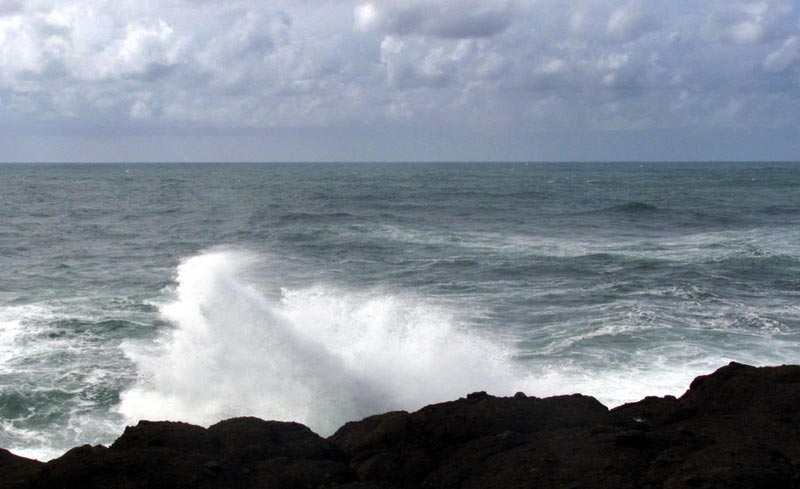
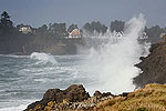
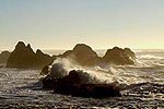
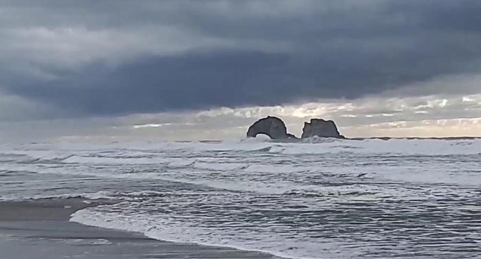
(Rockaway Beach, Oregon) – Seas along the Oregon and Washington coasts have picked up considerably today and will remain so through Saturday, causing a high surf advisory for today on the southern Oregon coast and a special statement from the National Weather Service (NWS) that sneaker waves are possible from the central Oregon coast up into the southern Washington coast today and Saturday. (Photo above: Friday afternoon at Rockaway Beach, courtesy Jon Anderson)
The high surf advisory on the south Oregon coast has been shortened, now expiring at 1 a.m. Saturday morning. Large waves up to 24 feet are possible in the areas of Winchester Bay, Coos Bay, Bandon, Port Orford and Gold Beach.
For the northern half of the Oregon coast and southern third of Washington’s coastline, the NWS said sneaker waves may be a problem. It is a time to be careful on the beaches from about Florence up through Westport.
The NWS in Portland told Oregon Coast Beach Connection this is more of a “heads up” rather than an official warning. Elevated seas farther offshore at around 17 feet will remain through Saturday night, along with a period swell of 12 seconds. Then, the NWS said, seas will subside from Washington down through southern Oregon’s beaches.
Indeed, Portland resident Jon Anderson told Oregon Coast Beach Connection he’d seen one sneaker wave in Rockaway Beach on Friday afternoon. Video that he took of the area showed a still-wide beach with no major safety issues.
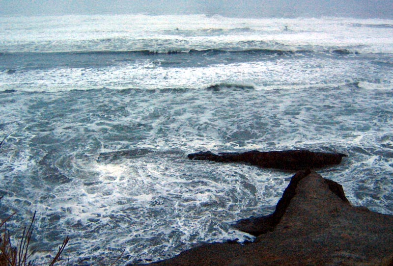
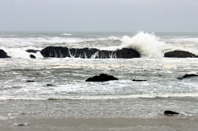
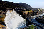
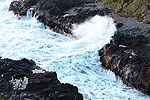
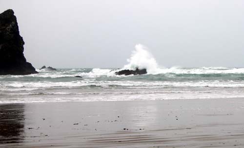
Wave height closer to shore will be more like 12 feet tonight, and with the considerable period swell of 12 seconds there will be decent storm wave watching through Saturday at rocky areas like Shore Acres State Park, Bandon, Yachats, Depoe Bay, Oceanside and up into Cape Disappointment in Washington.
With Sunday and Monday being rather clear, sunny and calm weather, beachcombing will be prime. Hit the sandy beaches for discoveries. North winds are playing a major part in these systems, which could result in some large upwellings – which always result in interesting beach finds.
“Seas likely to fall back under 10 ft later Sun into early Mon,” the NWS said of the offshore seas forecasts. “Active weather pattern continues next week, with more winds and higher seas expected, especially for later next week.”
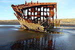
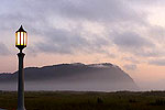
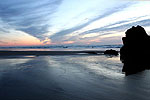
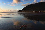
While this is regarding offshore areas, winds and high seas could mean more action and beach discoveries from Brookings all the way through the Olympic Peninsula. More storm photos below:
See Oregon Coast Weather - Washington Coast Weather
S. and N. Oregon Coast Hotels for this - Where to eat - Map - Virtual Tour
Cannon Beach Lodging
Nehalem Bay Lodgings
Manzanita Hotels, Lodging
Three Capes Lodging
Pacific City Hotels, Lodging
Lincoln City Lodging
Depoe Bay Lodging
Newport Lodging
Waldport Lodging
Yachats Lodging
Oregon Coast Vacation Rentals
Oregon Coast Lodging Specials
More About Oregon Coast hotels, lodging.....
More About Oregon Coast Restaurants, Dining.....
LATEST Related Oregon Coast Articles
Oregon whale was so decayed it was in two pieces; Washington whale also a gray and emaciated. Sciences, Rockaway Beach, Long Beach
Reggae Musician Mike Love Hits Oregon Coast for Seriously Irie Lincoln City Show
The Beach Club in Lincoln City hosts the show on Saturday, June 28. Lincoln City events
Invasive Carp Found in Central Oregon Reservoir, Near Sutherlin
Common carp were introduced illegally and biologists are concerned.
Oregon Coast's Florence Bumps Up Its Color Factor with Bright Hanging Flower ...
More flower baskets will cover city streets this year. Florence events
Making the Ordinary a Special Occasion at Lincoln City's Inn at Wecoma - Cent...
The inn features standout special packages and is pup friendly. Lincoln City hotel reviews, specials
This Weekend's Aurora Displayed Some Rarities Mostly to Central Oregon Coast
What could be light pillars, the STEVE effect and a rare red glow. Weather, astronomy. Seattle, Portland, Washington, Bend, Salem
More Central Oregon Coast Glass Float Big Drops: Lincoln City This Week and June
Adding 50 limited-edition glass floats for Earth Week then 130 in June. Lincoln City events
S. Oregon Coast's North Bend Will Roar This Summer with Its 123rd Celebration
123rd birthday July 17 - 19, 2026, with a full weekend of July Jubilee. Coos Bay events, history
Back to Oregon Coast
Contact Advertise on BeachConnection.net
All Content, unless otherwise attributed, copyright BeachConnection.net Unauthorized use or publication is not permitted


