Northern Arch Cape - Virtual Tour and Arch Cape Map
Virtual Tour of Cannon Beach, Oregon Coast
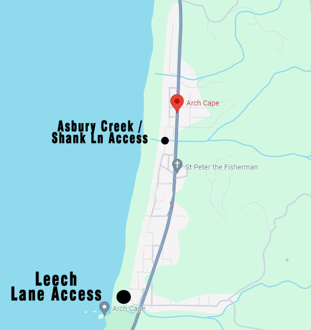
These accesses are hard to find, lurking along a winding set of roads that don't always connect up with Highway 101. But look for Cedar Lane or Shank Lane (and eventually Shark Lane) and you'll slowly find your way. There isn't much parking at either, so you're probably better off parking near the highway and walking west.
Both are right off Pacific Road which runs along the beach. The smaller access is just a hidden path between homes near Shark Lane.
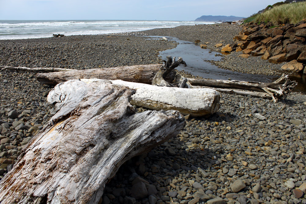
Along the way, you'll find a road that ends at a small creek and bridge, which has been cut off to vehicle traffic.
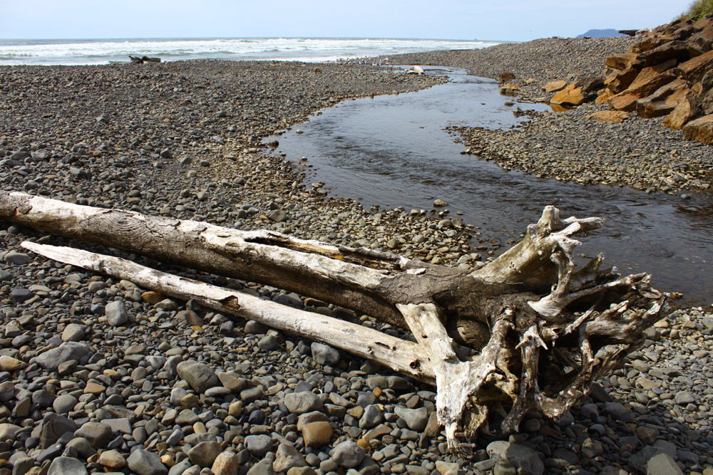
The larger is one south of the creek bridge and could be called the Asbury Creek access as it's right nex to that creek.
The landscape here is much the same as elsewhere along Arch Cape: large cobblestones that give way to a short stretch of sandy beach. This stretch can be virtually non-existent if you encounter the area in a storm.
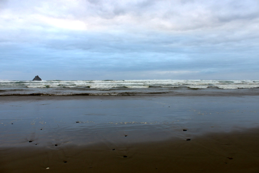
But the farther north you go the more you enter a sandy stretch beneath cliffs, until you reach the access known as Hug Point. This point, just before Hug Point, is often not accessible because of unruly tides around here.